
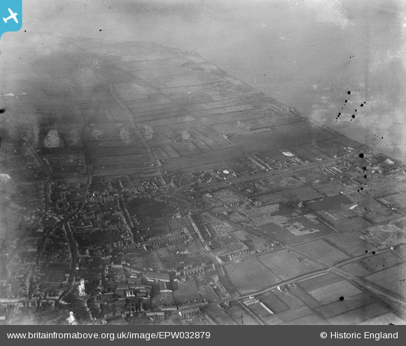
EPW032879 ENGLAND (1930). The town, Barton-upon-Humber, from the east, 1930
© Copyright OpenStreetMap contributors and licensed by the OpenStreetMap Foundation. 2026. Cartography is licensed as CC BY-SA.
Nearby Images (7)
EPW032879

EAW046041
, Barton-Upon-Humber, 1952. This image was marked by Aerofilms Ltd for photo editing.")
EAW046048
, Barton-Upon-Humber, from the north-west, 1952. This image was marked by Aerofilms Ltd for photo editing.")
EAW046161

EAW046043
, Barton-Upon-Humber, 1952. This image was marked by Aerofilms Ltd for photo editing.")
EAW027761

EAW046047
, Barton-Upon-Humber, 1952. This image was marked by Aerofilms Ltd for photo editing.")
Details
| Title | [EPW032879] The town, Barton-upon-Humber, from the east, 1930 |
| Reference | EPW032879 |
| Date | June-1930 |
| Link | |
| Place name | BARTON-UPON-HUMBER |
| Parish | BARTON-UPON-HUMBER |
| District | |
| Country | ENGLAND |
| Easting / Northing | 503251, 422437 |
| Longitude / Latitude | -0.43630158993812, 53.687938437072 |
| National Grid Reference | TA033224 |


