
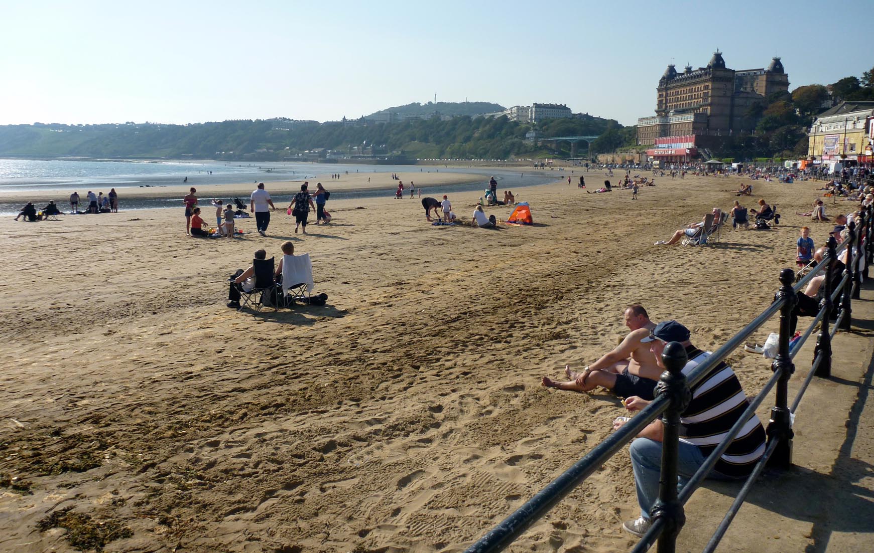
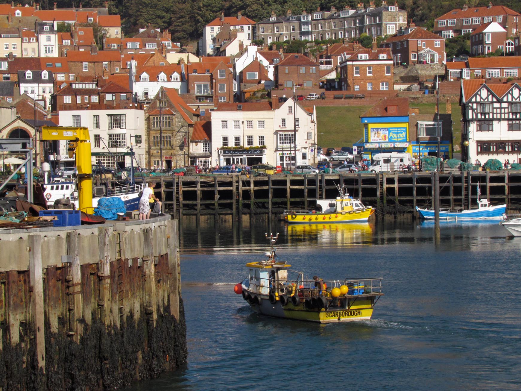
EAW016698 ENGLAND (1948). Castle Hill and the town, Scarborough, 1948

© Copyright OpenStreetMap contributors and licensed by the OpenStreetMap Foundation. 2026. Cartography is licensed as CC BY-SA.
Nearby Images (17)
EAW016698

EAW016699

EAW016695

EAW005716

EPW029093

EPW038935

EAW005719

EAW005718

EAW007950

EAW016696

EAW005717

EAW016697

EAW007949

EAW005722

EAW005721

EPW018341

EAW005720

Details
| Title | [EAW016698] Castle Hill and the town, Scarborough, 1948 |
| Reference | EAW016698 |
| Date | 23-June-1948 |
| Link | |
| Place name | SCARBOROUGH |
| Parish | |
| District | |
| Country | ENGLAND |
| Easting / Northing | 504831, 488997 |
| Longitude / Latitude | -0.38946784808716, 54.285680449807 |
| National Grid Reference | TA048890 |
Pins

redmist |
Thursday 12th of September 2019 08:03:35 PM |
User Comment Contributions
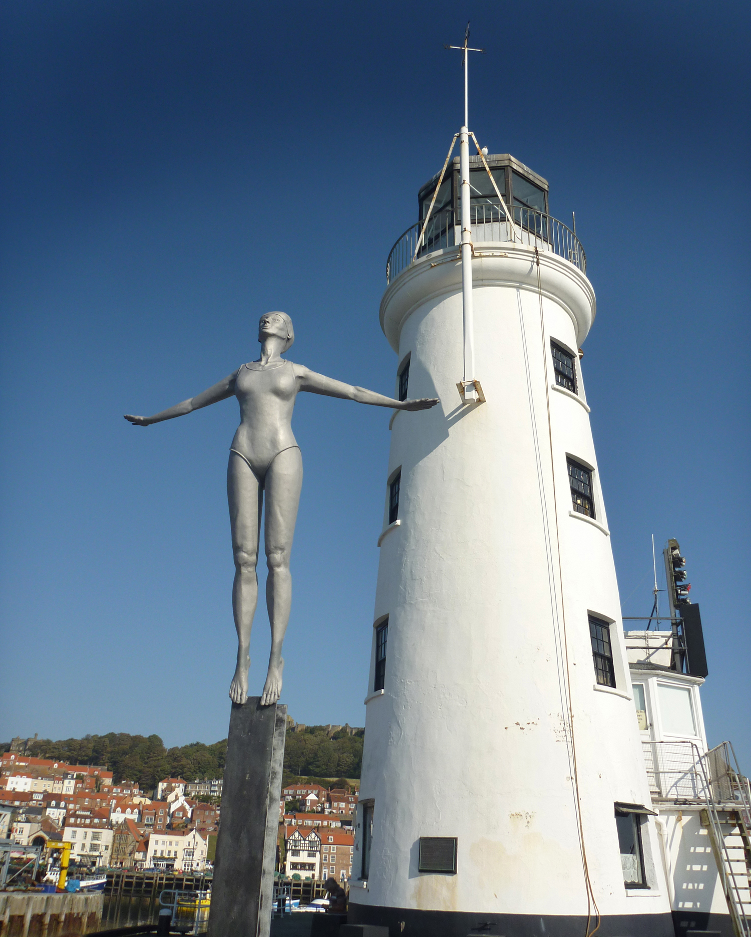
Scarborough Lighthouse |

Alan McFaden |
Friday 31st of October 2014 09:30:24 AM |
Scarborough |
Alan McFaden |
Friday 31st of October 2014 09:29:57 AM |
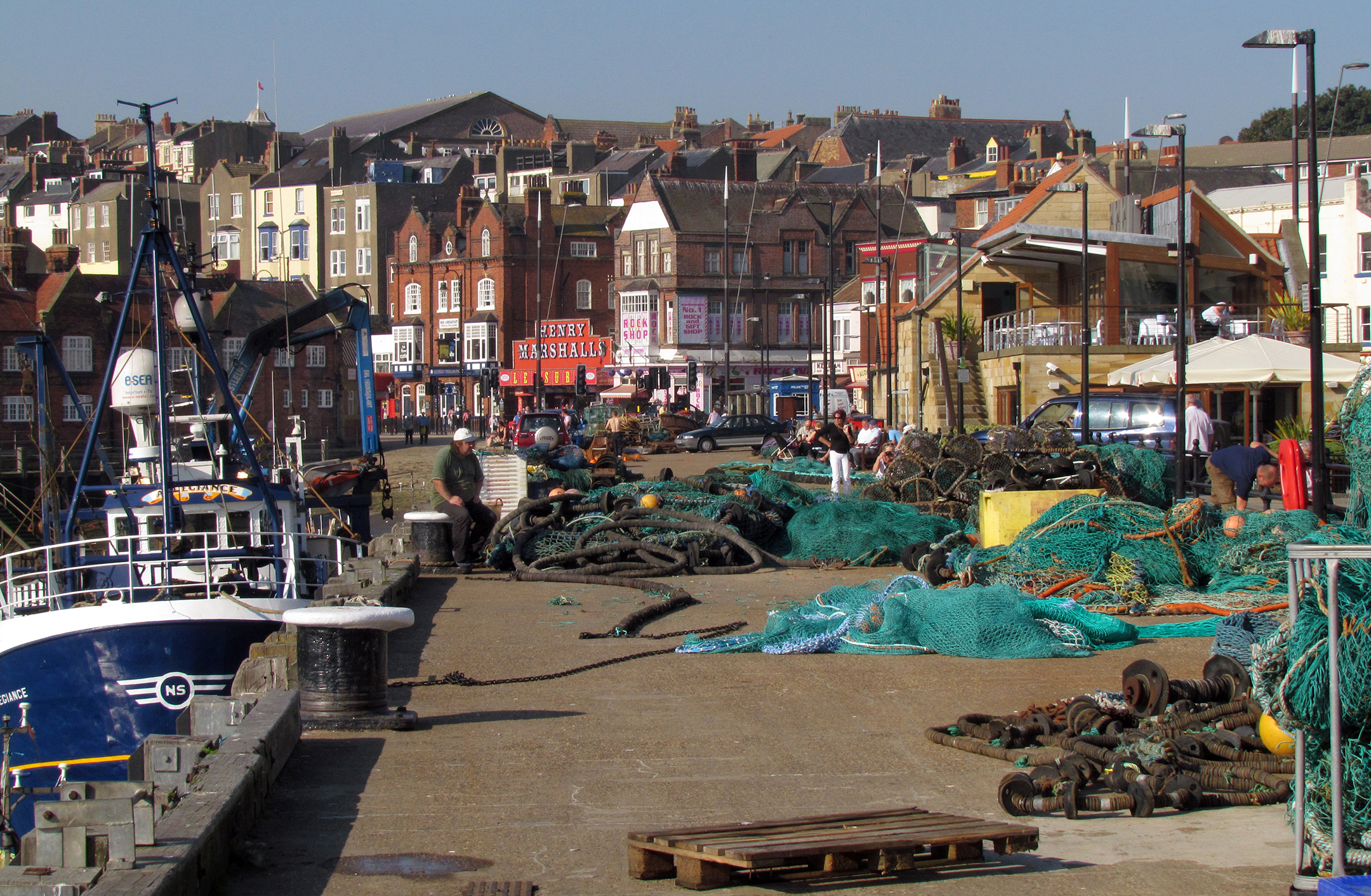
Scarborough Fishermen's Dock |
Alan McFaden |
Friday 31st of October 2014 09:29:32 AM |
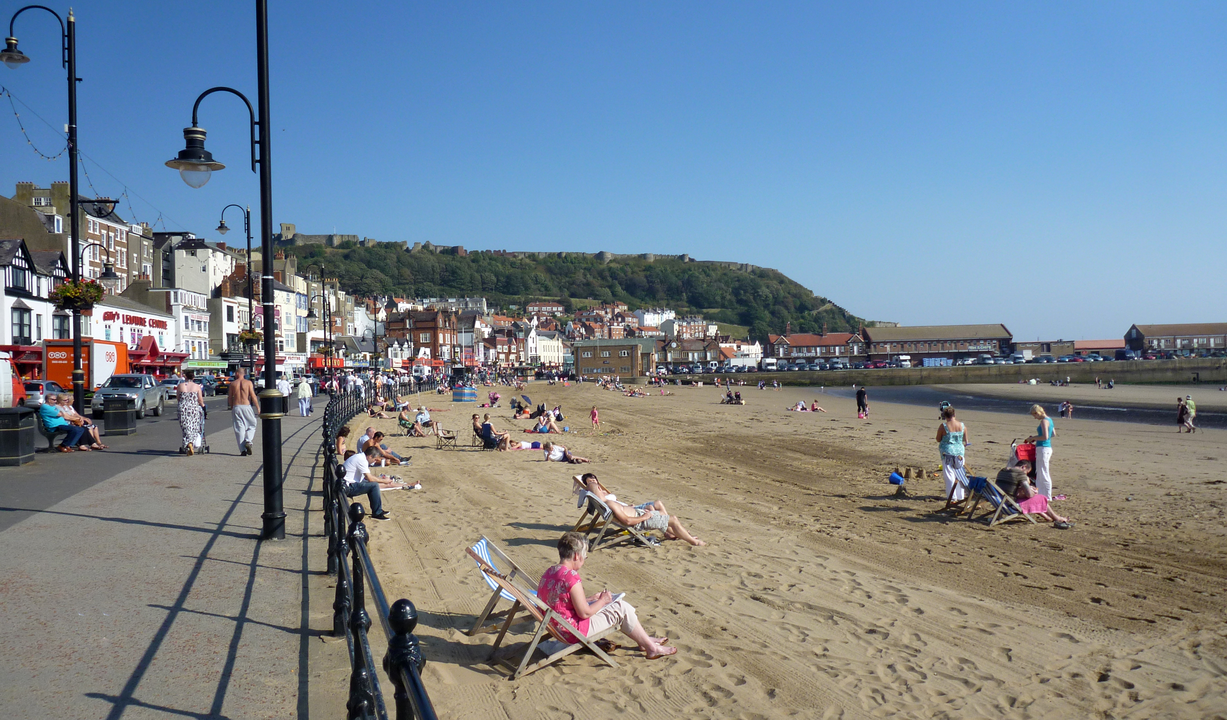
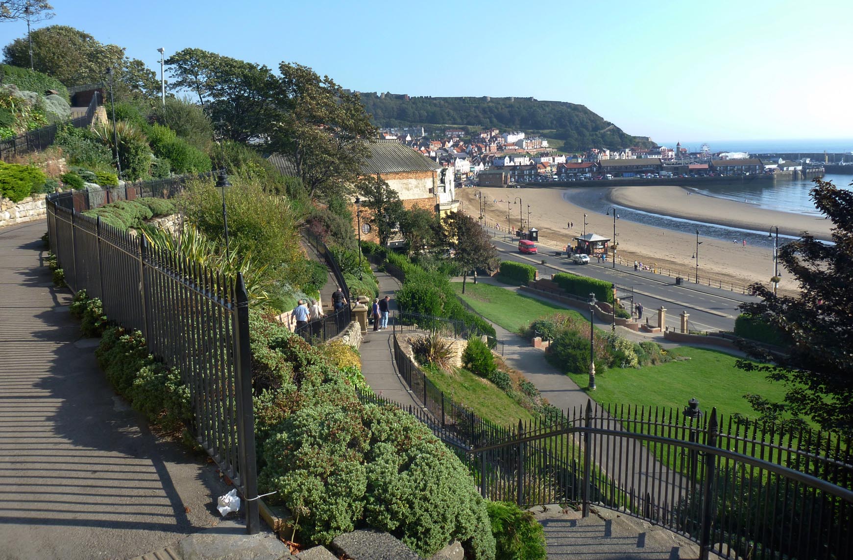
Scarborough Beach and Castle |
Alan McFaden |
Friday 31st of October 2014 09:28:43 AM |
Scarborough Bay |
Alan McFaden |
Friday 31st of October 2014 09:28:06 AM |
Scarborough Harbour |
Alan McFaden |
Friday 31st of October 2014 09:27:35 AM |

Scarborough Castle |
Robert - Cumbria |
Sunday 2nd of February 2014 09:34:45 AM |