
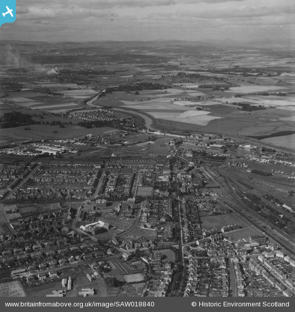
SAW018840 SCOTLAND (1948). Grangemouth, general view, showing Bo'ness Road and Grangemouth Timber Basin. An oblique aerial photograph taken facing north-west. This image has been produced from a print.
© Hawlfraint cyfranwyr OpenStreetMap a thrwyddedwyd gan yr OpenStreetMap Foundation. 2026. Trwyddedir y gartograffeg fel CC BY-SA.
Delweddau cyfagos (5)
SAW018840

SPW020274

SPW017715

SAW018842

SAW018841

Manylion
| Pennawd | [SAW018840] Grangemouth, general view, showing Bo'ness Road and Grangemouth Timber Basin. An oblique aerial photograph taken facing north-west. This image has been produced from a print. |
| Cyfeirnod | SAW018840 |
| Dyddiad | 1948 |
| Dolen | NRHE Collection item 1314882 |
| Enw lle | |
| Plwyf | GRANGEMOUTH |
| Ardal | FALKIRK |
| Gwlad | SCOTLAND |
| Dwyreiniad / Gogleddiad | 292300, 682130 |
| Hydred / Lledred | -3.7280107739811, 56.02001318001 |
| Cyfeirnod Grid Cenedlaethol | NS923821 |
