
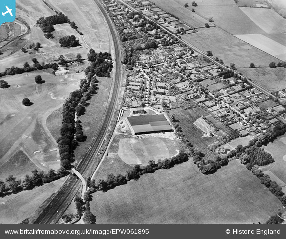
EPW061895 ENGLAND (1939). The Electrical Apparatus Co Ltd Works and the surrounding residential area, St Albans, 1939
© Hawlfraint cyfranwyr OpenStreetMap a thrwyddedwyd gan yr OpenStreetMap Foundation. 2026. Trwyddedir y gartograffeg fel CC BY-SA.
Delweddau cyfagos (19)
EPW061895

EPW061900

EPW061897

EPW061890

EPW060976

EPW061896

EPW061899

EPW061898

EPW060980

EPW061892

EPW061901

EPW060974

EPW061894

EAW027916

EPW061893

EAW027915

EPW061891

EPW061889

EPW061888

Manylion
| Pennawd | [EPW061895] The Electrical Apparatus Co Ltd Works and the surrounding residential area, St Albans, 1939 |
| Cyfeirnod | EPW061895 |
| Dyddiad | June-1939 |
| Dolen | |
| Enw lle | ST ALBANS |
| Plwyf | |
| Ardal | |
| Gwlad | ENGLAND |
| Dwyreiniad / Gogleddiad | 516238, 205476 |
| Hydred / Lledred | -0.31650186801555, 51.735468643042 |
| Cyfeirnod Grid Cenedlaethol | TL162055 |
Pinnau

John W |
Saturday 8th of February 2020 05:59:30 PM | |
|
John W |
Saturday 8th of February 2020 05:47:38 PM | |
|
John W |
Saturday 8th of February 2020 05:41:10 PM | |
|
John W |
Saturday 8th of February 2020 05:40:51 PM | |
|
John W |
Saturday 8th of February 2020 05:40:01 PM | |
|
John W |
Saturday 8th of February 2020 05:36:13 PM |