
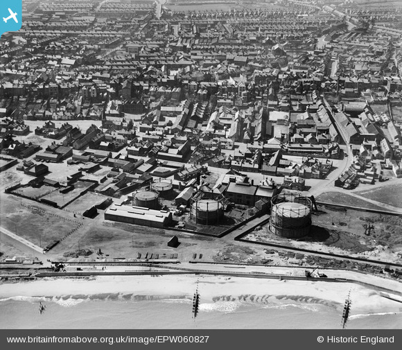
EPW060827 ENGLAND (1939). Lowestoft Water and Gas Co Gas Works on Ness Point and environs, Lowestoft, from the east, 1939
© Hawlfraint cyfranwyr OpenStreetMap a thrwyddedwyd gan yr OpenStreetMap Foundation. 2026. Trwyddedir y gartograffeg fel CC BY-SA.
Delweddau cyfagos (11)
EPW060827

EPW060825

EPW060828

EPW060823

EPW060829

EPW060826

EPW060824

EPW016550

EAW047601

EAW047598

EAW047605

Manylion
| Pennawd | [EPW060827] Lowestoft Water and Gas Co Gas Works on Ness Point and environs, Lowestoft, from the east, 1939 |
| Cyfeirnod | EPW060827 |
| Dyddiad | 21-April-1939 |
| Dolen | |
| Enw lle | LOWESTOFT |
| Plwyf | |
| Ardal | |
| Gwlad | ENGLAND |
| Dwyreiniad / Gogleddiad | 655491, 293514 |
| Hydred / Lledred | 1.7629817172756, 52.479256479543 |
| Cyfeirnod Grid Cenedlaethol | TM555935 |
Pinnau

Harvey |
Saturday 1st of July 2023 02:35:44 PM | |
|
Eddy |
Friday 10th of September 2021 04:53:07 PM | |
|
Eddy |
Thursday 20th of August 2020 07:36:22 PM | |
|
Eddy |
Thursday 20th of August 2020 07:21:04 PM | |
|
Eddy |
Thursday 20th of August 2020 07:20:14 PM | |
|
Eddy |
Wednesday 19th of August 2020 09:44:39 PM | |
|
Eddy |
Wednesday 19th of August 2020 09:42:58 PM | |
|
Eddy |
Wednesday 19th of August 2020 09:41:32 PM | |
|
Brightonboy |
Tuesday 16th of June 2020 08:01:52 PM |
