
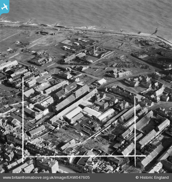
EAW047605 ENGLAND (1952). Rant Score and environs, Lowestoft, 1952. This image was marked by Aerofilms Ltd for photo editing.
© Hawlfraint cyfranwyr OpenStreetMap a thrwyddedwyd gan yr OpenStreetMap Foundation. 2026. Trwyddedir y gartograffeg fel CC BY-SA.
Delweddau cyfagos (16)
EAW047605

EAW047598

EAW047601

EAW047603

EAW047600

EAW047599

EAW047606

EAW047604

EAW047607

EAW047602

EPW060826

EPW060829

EPW060823

EPW060824

EPW060827

EPW060825

Manylion
| Pennawd | [EAW047605] Rant Score and environs, Lowestoft, 1952. This image was marked by Aerofilms Ltd for photo editing. |
| Cyfeirnod | EAW047605 |
| Dyddiad | 23-October-1952 |
| Dolen | |
| Enw lle | LOWESTOFT |
| Plwyf | |
| Ardal | |
| Gwlad | ENGLAND |
| Dwyreiniad / Gogleddiad | 655283, 293677 |
| Hydred / Lledred | 1.7600502185023, 52.48081616238 |
| Cyfeirnod Grid Cenedlaethol | TM553937 |
Pinnau

Brightonboy |
Wednesday 8th of April 2015 08:02:56 AM | |
|
Brightonboy |
Wednesday 8th of April 2015 08:02:17 AM | |

Class31 |
Wednesday 8th of April 2015 07:34:52 AM |
