
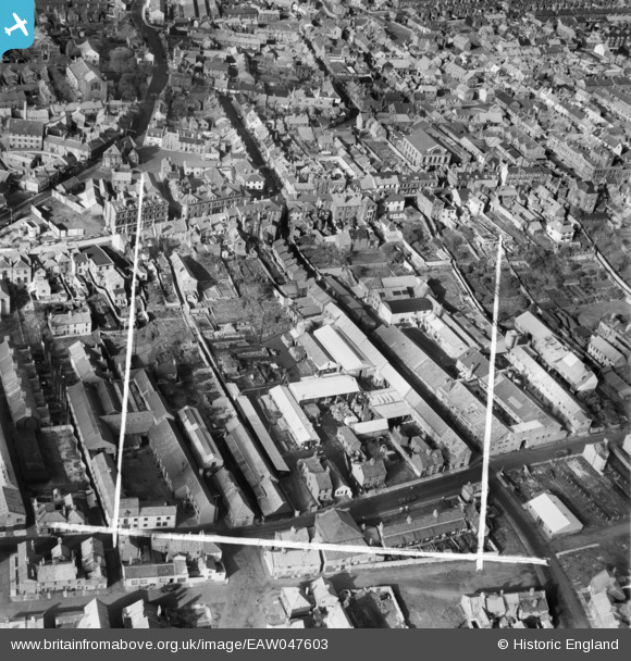
EAW047603 ENGLAND (1952). Rant Score and environs, Lowestoft, 1952. This image was marked by Aerofilms Ltd for photo editing.
© Hawlfraint cyfranwyr OpenStreetMap a thrwyddedwyd gan yr OpenStreetMap Foundation. 2026. Trwyddedir y gartograffeg fel CC BY-SA.
Delweddau cyfagos (12)
EAW047603

EAW047606

EAW047604

EAW047607

EAW047602

EAW047600

EAW047599

EAW047598

EAW047605

EAW047601

EPW021249

EPW060824

Manylion
| Pennawd | [EAW047603] Rant Score and environs, Lowestoft, 1952. This image was marked by Aerofilms Ltd for photo editing. |
| Cyfeirnod | EAW047603 |
| Dyddiad | 23-October-1952 |
| Dolen | |
| Enw lle | LOWESTOFT |
| Plwyf | |
| Ardal | |
| Gwlad | ENGLAND |
| Dwyreiniad / Gogleddiad | 655190, 293658 |
| Hydred / Lledred | 1.7586690809434, 52.480689184873 |
| Cyfeirnod Grid Cenedlaethol | TM552937 |
Pinnau

Harvey |
Saturday 1st of July 2023 02:42:59 PM |
