
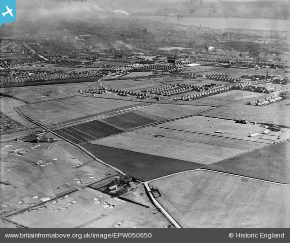
EPW050650 ENGLAND (1936). Bootle Golf Course, housing development around Kirkstone Road South and Church Road and environs, Litherland, from the north, 1936
© Hawlfraint cyfranwyr OpenStreetMap a thrwyddedwyd gan yr OpenStreetMap Foundation. 2026. Trwyddedir y gartograffeg fel CC BY-SA.
Delweddau cyfagos (5)
EPW050650

EPW050646

EPW050648

EAW050723

EPW050645

Manylion
| Pennawd | [EPW050650] Bootle Golf Course, housing development around Kirkstone Road South and Church Road and environs, Litherland, from the north, 1936 |
| Cyfeirnod | EPW050650 |
| Dyddiad | June-1936 |
| Dolen | |
| Enw lle | LITHERLAND |
| Plwyf | |
| Ardal | |
| Gwlad | ENGLAND |
| Dwyreiniad / Gogleddiad | 334858, 398687 |
| Hydred / Lledred | -2.9817133393343, 53.480616831193 |
| Cyfeirnod Grid Cenedlaethol | SJ349987 |
Pinnau

Navigus |
Tuesday 31st of December 2013 03:12:08 PM | |
|
Ange |
Saturday 17th of August 2013 10:09:51 PM | |
|
Ange |
Friday 31st of May 2013 11:17:50 PM | |
|
Ange |
Friday 31st of May 2013 11:15:23 PM |