
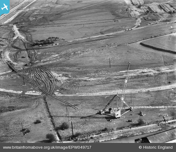
EPW049717 ENGLAND (1936). The site of the northern end of the William Girling Reservoir showing preliminary construction works, Ponders End, 1936
© Hawlfraint cyfranwyr OpenStreetMap a thrwyddedwyd gan yr OpenStreetMap Foundation. 2026. Trwyddedir y gartograffeg fel CC BY-SA.
Delweddau cyfagos (18)
EPW049717

EAW042858

EAW042860

EPW049697

EAW042864

EPW058466
 Reservoir under construction, Edmonton, 1938")
EPW049713

EPW056827

EAW042868

EPW049719

EAW035936

EPW060637

EAW035935

EPW048904

EAW035941

EAW035940

EAW035938

EPW060224
 Reservoir under construction, Edmonton, from the north, 1938")
Manylion
| Pennawd | [EPW049717] The site of the northern end of the William Girling Reservoir showing preliminary construction works, Ponders End, 1936 |
| Cyfeirnod | EPW049717 |
| Dyddiad | March-1936 |
| Dolen | |
| Enw lle | PONDERS END |
| Plwyf | |
| Ardal | |
| Gwlad | ENGLAND |
| Dwyreiniad / Gogleddiad | 536473, 195235 |
| Hydred / Lledred | -0.027613258012802, 51.638872023757 |
| Cyfeirnod Grid Cenedlaethol | TQ365952 |
Pinnau
Byddwch y cyntaf i ychwanegu sylw at y ddelwedd hon!