
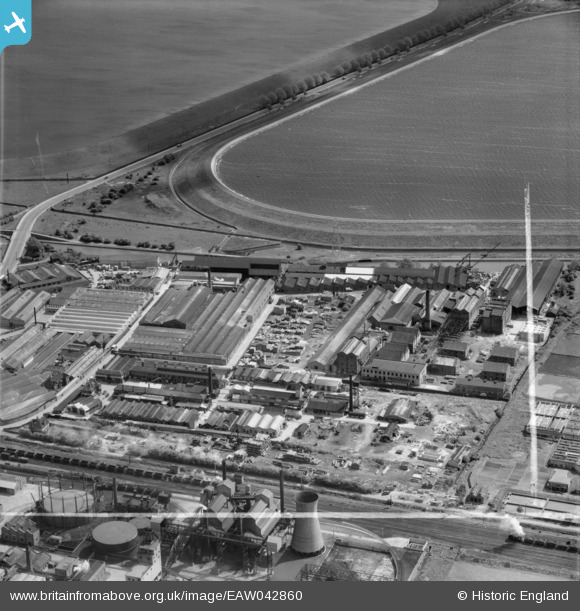
EAW042860 ENGLAND (1952). Riverside Industrial Estate, Ponders End, 1952. This image was marked by Aerofilms Ltd for photo editing.
© Hawlfraint cyfranwyr OpenStreetMap a thrwyddedwyd gan yr OpenStreetMap Foundation. 2026. Trwyddedir y gartograffeg fel CC BY-SA.
Delweddau cyfagos (17)
EAW042860

EAW042864

EAW042868

EAW042858

EAW035936

EAW035937

EAW042859

EAW035935

EAW042863

EAW035939

EAW035941

EAW035940

EAW042861

EAW042865

EAW035938

EPW049717

EAW042867

Manylion
| Pennawd | [EAW042860] Riverside Industrial Estate, Ponders End, 1952. This image was marked by Aerofilms Ltd for photo editing. |
| Cyfeirnod | EAW042860 |
| Dyddiad | 5-July-1952 |
| Dolen | |
| Enw lle | PONDERS END |
| Plwyf | |
| Ardal | |
| Gwlad | ENGLAND |
| Dwyreiniad / Gogleddiad | 536288, 195224 |
| Hydred / Lledred | -0.030289566455829, 51.638818032445 |
| Cyfeirnod Grid Cenedlaethol | TQ363952 |
