
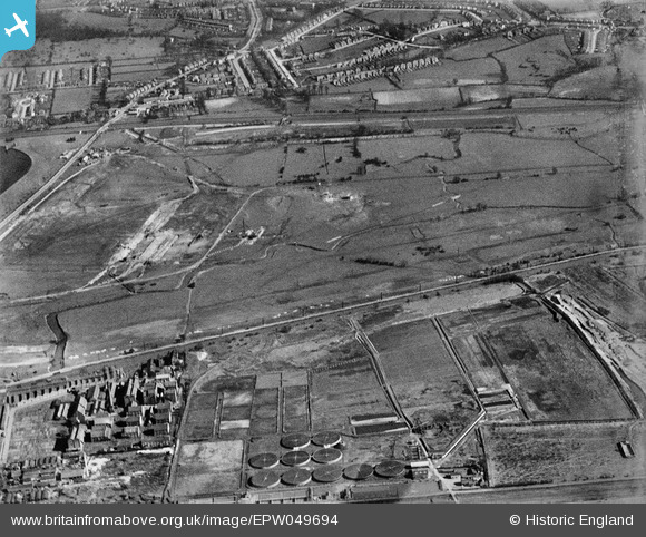
EPW049694 ENGLAND (1936). The site of the northern end of the William Girling Reservoir showing preliminary construction works, Ponders End, 1936
© Hawlfraint cyfranwyr OpenStreetMap a thrwyddedwyd gan yr OpenStreetMap Foundation. 2026. Trwyddedir y gartograffeg fel CC BY-SA.
Delweddau cyfagos (17)
EPW049694

EPW049695

EPW048905

EPW056811

EPW052277

EPW050866

EPW050867

EPW052278

EPW056331

EPW049729

EPW052266

EPW060220
 Reservoir under construction, Edmonton, 1938")
EPW058464
 Reservoir under construction, Edmonton, 1938")
EPW048907

EPW053845
 Reservoir under construction, Edmonton, 1937")
EPW050861

EPW053849
 Reservoir under construction, Edmonton, 1937")
Manylion
| Pennawd | [EPW049694] The site of the northern end of the William Girling Reservoir showing preliminary construction works, Ponders End, 1936 |
| Cyfeirnod | EPW049694 |
| Dyddiad | March-1936 |
| Dolen | |
| Enw lle | PONDERS END |
| Plwyf | |
| Ardal | |
| Gwlad | ENGLAND |
| Dwyreiniad / Gogleddiad | 536602, 194746 |
| Hydred / Lledred | -0.025940943430805, 51.63444608241 |
| Cyfeirnod Grid Cenedlaethol | TQ366947 |
Pinnau
Byddwch y cyntaf i ychwanegu sylw at y ddelwedd hon!