
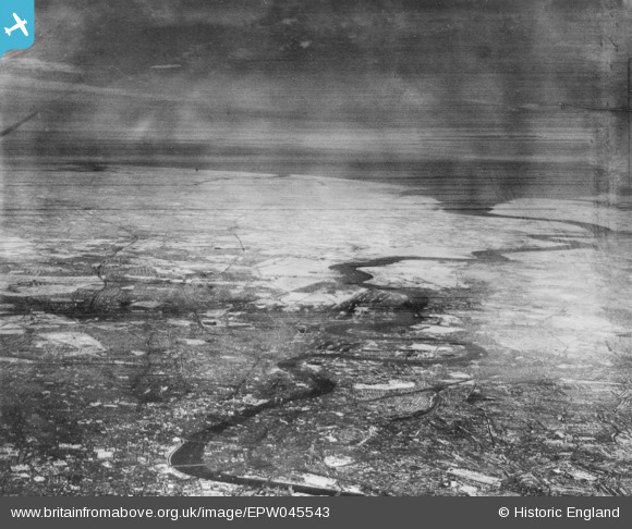
EPW045543 ENGLAND (1934). An infrared photograph showing the River Thames from Westminster Bridge to the sea, London, from the west, 1934
© Hawlfraint cyfranwyr OpenStreetMap a thrwyddedwyd gan yr OpenStreetMap Foundation. 2026. Trwyddedir y gartograffeg fel CC BY-SA.
Delweddau cyfagos (5)
EPW045543

EPW044129

EPW059930

EPW059929

EPW044127

Manylion
| Pennawd | [EPW045543] An infrared photograph showing the River Thames from Westminster Bridge to the sea, London, from the west, 1934 |
| Cyfeirnod | EPW045543 |
| Dyddiad | July-1934 |
| Dolen | |
| Enw lle | LONDON |
| Plwyf | |
| Ardal | |
| Gwlad | ENGLAND |
| Dwyreiniad / Gogleddiad | 537211, 180364 |
| Hydred / Lledred | -0.02276298382454, 51.505046443753 |
| Cyfeirnod Grid Cenedlaethol | TQ372804 |
Pinnau
Byddwch y cyntaf i ychwanegu sylw at y ddelwedd hon!