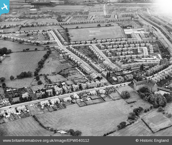
EPW040112 ENGLAND (1932). Ruskin Park Estate around Somerville Street, Crewe, 1932
    © Hawlfraint cyfranwyr OpenStreetMap a thrwyddedwyd gan yr OpenStreetMap Foundation. 2025. Trwyddedir y gartograffeg fel CC BY-SA.
  
Manylion
| Pennawd | [EPW040112] Ruskin Park Estate around Somerville Street, Crewe, 1932 | 
| Cyfeirnod | EPW040112 | 
| Dyddiad | October-1932 | 
| Dolen | |
| Enw lle | CREWE | 
| Plwyf | |
| Ardal | |
| Gwlad | ENGLAND | 
| Dwyreiniad / Gogleddiad | 369914, 354505 | 
| Hydred / Lledred | -2.4492502863233, 53.086614292089 | 
| Cyfeirnod Grid Cenedlaethol | SJ699545 | 
Pinnau
|  Block of houses Known as The Hawthornes on the corner of Smallman road and Nantwich Road. Numbers 2 to 8 Smallman road
The Shop frontage on the right hand side is now "My Uncle" Takeaway |   Neil | Wednesday 19th of May 2021 07:16:14 PM | 
|  Shop on corner of Somerville Street and Smallman Road |   mattingham1983 | Monday 5th of October 2020 08:22:00 PM | 
 
             
  ![[EPW040112] Ruskin Park Estate around Somerville Street, Crewe, 1932](http://britainfromabove.org.uk/sites/all/libraries/aerofilms-images/public/100x100/EPW/040/EPW040112.jpg) 
  
                                          ![[EPW040111] Nantwich Road and the Ruskin Park Estate, Crewe, 1932](http://britainfromabove.org.uk/sites/all/libraries/aerofilms-images/public/100x100/EPW/040/EPW040111.jpg) 
 ![[EPW040113] Ruskin Park Estate around Tynedale Avenue, Crewe, 1932](http://britainfromabove.org.uk/sites/all/libraries/aerofilms-images/public/100x100/EPW/040/EPW040113.jpg)