
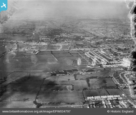
EPW034797 ENGLAND (1931). Stag Lane Aerodrome and environs, Little Stanmore, from the south-east, 1931. This image has been produced from a damaged negative.
© Hawlfraint cyfranwyr OpenStreetMap a thrwyddedwyd gan yr OpenStreetMap Foundation. 2026. Trwyddedir y gartograffeg fel CC BY-SA.
Delweddau cyfagos (48)
EPW034797

EPW022364

EPW031547

EPW030058

EPW032892

EPW030057

EPW025073

EPW025074

EPW047553

EPW022048

EPW047557

EPW013196

EPW047554

EPW047556

EPW032890

EPW034981

EPW034981
EPW032889

EPW018148

EPW047550

EPW009129

EPW046489

EPW025691

EPW047549

EPW013198

EPW034987

EPW046486

EPW018765

EPW047552

EPW030056

EPW046490

EPW031582

EPW035010

EPW031546

EPW034980

EPW034980
EPW017872

EPW017873

EPW017874

EPW017875

EPW017876

EPW017877

EPW017878

EPW017880

EPW018132

EPW046485

EPW034982

EPW034982
Manylion
| Pennawd | [EPW034797] Stag Lane Aerodrome and environs, Little Stanmore, from the south-east, 1931. This image has been produced from a damaged negative. |
| Cyfeirnod | EPW034797 |
| Dyddiad | 27-January-1931 |
| Dolen | |
| Enw lle | LITTLE STANMORE |
| Plwyf | |
| Ardal | |
| Gwlad | ENGLAND |
| Dwyreiniad / Gogleddiad | 519574, 190178 |
| Hydred / Lledred | -0.27344553287427, 51.597266005061 |
| Cyfeirnod Grid Cenedlaethol | TQ196902 |
Pinnau

Terry Carter |
Thursday 14th of February 2013 03:58:57 PM | |
|
Terry Carter |
Thursday 14th of February 2013 03:57:55 PM |