
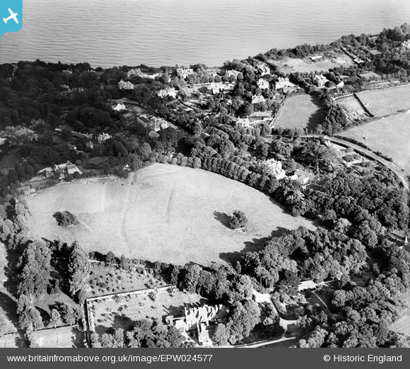
EPW024577 ENGLAND (1928). Big Meade Recreation Ground, Shanklin, 1928
© Hawlfraint cyfranwyr OpenStreetMap a thrwyddedwyd gan yr OpenStreetMap Foundation. 2026. Trwyddedir y gartograffeg fel CC BY-SA.
Delweddau cyfagos (20)
EPW024577

EPW024571

EPW024567

EPW024570

EPW024569

EPW024566

EPW024575

EPW024572

EPW022909

EPW022904

EPW024565

EPW022908

EPW024576

EPW022906

EPW022907

EPW022905

EPW024568

EPW039649

EPW024574

EPW024573

Manylion
| Pennawd | [EPW024577] Big Meade Recreation Ground, Shanklin, 1928 |
| Cyfeirnod | EPW024577 |
| Dyddiad | September-1928 |
| Dolen | |
| Enw lle | SHANKLIN |
| Plwyf | SHANKLIN |
| Ardal | |
| Gwlad | ENGLAND |
| Dwyreiniad / Gogleddiad | 458085, 80766 |
| Hydred / Lledred | -1.1787701270772, 50.623117106897 |
| Cyfeirnod Grid Cenedlaethol | SZ581808 |
Pinnau
Byddwch y cyntaf i ychwanegu sylw at y ddelwedd hon!