
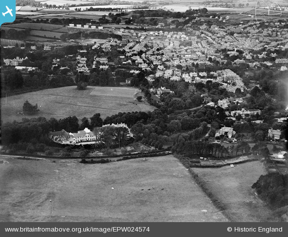
EPW024574 ENGLAND (1928). Upper Chine House and the town, Shanklin, 1928
© Hawlfraint cyfranwyr OpenStreetMap a thrwyddedwyd gan yr OpenStreetMap Foundation. 2026. Trwyddedir y gartograffeg fel CC BY-SA.
Delweddau cyfagos (20)
EPW024574

EPW022905

EPW022906

EPW022907

EPW022904

EPW022909

EPW022908

EPW024566

EPW024576

EPW024569

EPW024568

EPW024570

EPW024573

EPW024565

EPW024577

EPW024571

EPW024575

EAW028275

EPW024567

EPW024572

Manylion
| Pennawd | [EPW024574] Upper Chine House and the town, Shanklin, 1928 |
| Cyfeirnod | EPW024574 |
| Dyddiad | September-1928 |
| Dolen | |
| Enw lle | SHANKLIN |
| Plwyf | SHANKLIN |
| Ardal | |
| Gwlad | ENGLAND |
| Dwyreiniad / Gogleddiad | 458087, 80555 |
| Hydred / Lledred | -1.178774903445, 50.621219398213 |
| Cyfeirnod Grid Cenedlaethol | SZ581806 |
Pinnau

Richard |
Thursday 12th of March 2015 11:08:16 PM |