
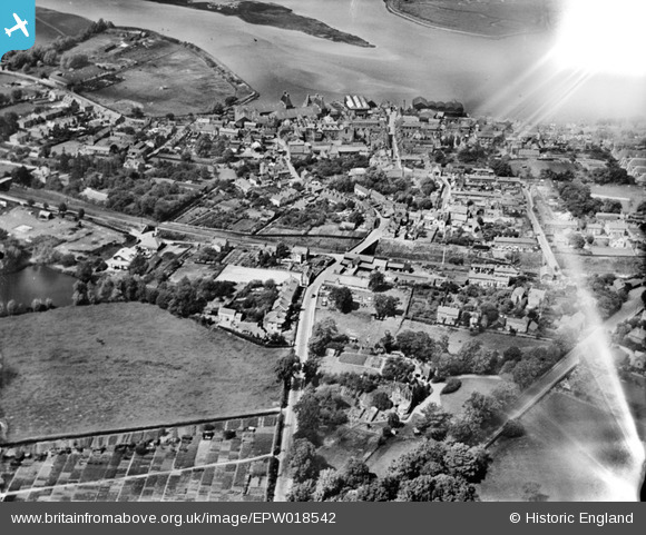
EPW018542 ENGLAND (1927). Brook Street and the town, Manningtree, 1927
© Hawlfraint cyfranwyr OpenStreetMap a thrwyddedwyd gan yr OpenStreetMap Foundation. 2026. Trwyddedir y gartograffeg fel CC BY-SA.
Delweddau cyfagos (5)
EPW018542

EPW018544

EAW043685

EPW018543

EAW043682

Manylion
| Pennawd | [EPW018542] Brook Street and the town, Manningtree, 1927 |
| Cyfeirnod | EPW018542 |
| Dyddiad | 20-June-1927 |
| Dolen | |
| Enw lle | MANNINGTREE |
| Plwyf | MISTLEY |
| Ardal | |
| Gwlad | ENGLAND |
| Dwyreiniad / Gogleddiad | 610615, 231569 |
| Hydred / Lledred | 1.0646326874203, 51.942257314693 |
| Cyfeirnod Grid Cenedlaethol | TM106316 |
Pinnau

Class31 |
Tuesday 30th of October 2012 09:33:59 AM | |
|
Class31 |
Tuesday 30th of October 2012 09:33:21 AM | |
|
Class31 |
Tuesday 30th of October 2012 09:32:55 AM | |
|
Class31 |
Tuesday 30th of October 2012 09:31:13 AM | |
|
Class31 |
Tuesday 30th of October 2012 09:30:32 AM | |
|
Class31 |
Tuesday 30th of October 2012 09:29:43 AM | |
|
Class31 |
Tuesday 30th of October 2012 09:28:51 AM | |
|
Class31 |
Tuesday 30th of October 2012 09:28:22 AM | |
|
Class31 |
Tuesday 30th of October 2012 09:27:47 AM |