
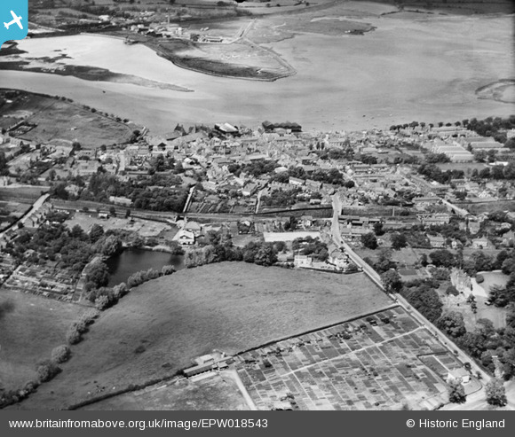
EPW018543 ENGLAND (1927). The town and River Stour, Manningtree, from the south, 1927
© Hawlfraint cyfranwyr OpenStreetMap a thrwyddedwyd gan yr OpenStreetMap Foundation. 2026. Trwyddedir y gartograffeg fel CC BY-SA.
Delweddau cyfagos (2)
EPW018543

EPW018542

Manylion
| Pennawd | [EPW018543] The town and River Stour, Manningtree, from the south, 1927 |
| Cyfeirnod | EPW018543 |
| Dyddiad | 20-June-1927 |
| Dolen | |
| Enw lle | MANNINGTREE |
| Plwyf | MISTLEY |
| Ardal | |
| Gwlad | ENGLAND |
| Dwyreiniad / Gogleddiad | 610485, 231396 |
| Hydred / Lledred | 1.0626381084584, 51.940753144434 |
| Cyfeirnod Grid Cenedlaethol | TM105314 |
Pinnau

Rob |
Friday 1st of March 2019 10:23:31 AM | |

Class31 |
Tuesday 30th of October 2012 09:36:51 AM | |
|
Class31 |
Tuesday 30th of October 2012 09:36:36 AM | |
|
Class31 |
Tuesday 30th of October 2012 09:36:09 AM | |
|
Class31 |
Tuesday 30th of October 2012 09:35:28 AM | |
|
Class31 |
Tuesday 30th of October 2012 09:34:45 AM |