
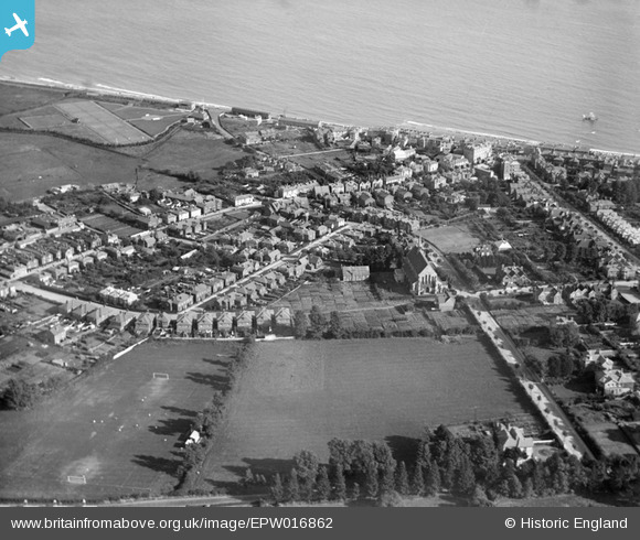
EPW016862 ENGLAND (1926). St John's Church and the sea, Sandown, 1926
© Hawlfraint cyfranwyr OpenStreetMap a thrwyddedwyd gan yr OpenStreetMap Foundation. 2026. Trwyddedir y gartograffeg fel CC BY-SA.
Delweddau cyfagos (3)
EPW016862

EAW038578

EPW023082

Manylion
| Pennawd | [EPW016862] St John's Church and the sea, Sandown, 1926 |
| Cyfeirnod | EPW016862 |
| Dyddiad | August-1926 |
| Dolen | |
| Enw lle | SANDOWN |
| Plwyf | SANDOWN |
| Ardal | |
| Gwlad | ENGLAND |
| Dwyreiniad / Gogleddiad | 460031, 84655 |
| Hydred / Lledred | -1.1506297419451, 50.657893123035 |
| Cyfeirnod Grid Cenedlaethol | SZ600847 |
Pinnau

Alan |
Friday 10th of July 2020 10:57:08 AM | |
|
HALLY64 |
Thursday 8th of August 2013 04:22:51 PM | |
|
Ian |
Thursday 1st of August 2013 12:49:55 PM | |
|
Ian |
Thursday 1st of August 2013 12:48:53 PM | |
|
Ian |
Thursday 1st of August 2013 12:43:39 PM |