
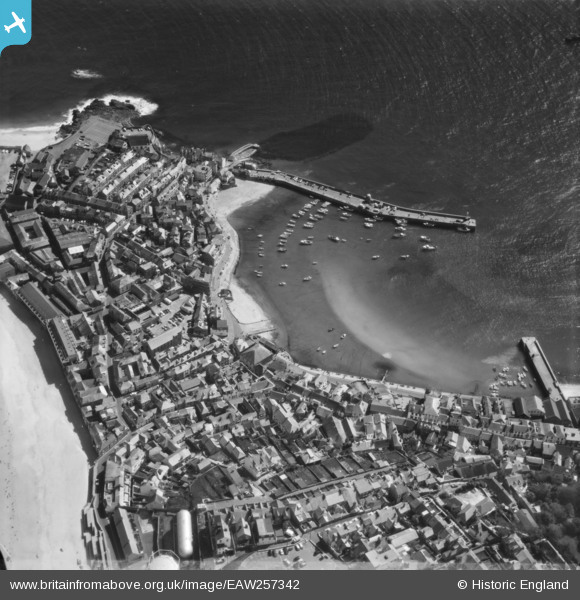
EAW257342 ENGLAND (1973). The harbour and town, St Ives, 1973
© Hawlfraint cyfranwyr OpenStreetMap a thrwyddedwyd gan yr OpenStreetMap Foundation. 2025. Trwyddedir y gartograffeg fel CC BY-SA.
Delweddau cyfagos (10)
EAW257342

EPW021752

EPW039835

EPW021747

EPW021748

EPW039834

EPW021745

EPW021744

EPW059855

EPW059854

Manylion
| Pennawd | [EAW257342] The harbour and town, St Ives, 1973 |
| Cyfeirnod | EAW257342 |
| Dyddiad | 10-May-1973 |
| Dolen | |
| Enw lle | ST IVES |
| Plwyf | ST. IVES |
| Ardal | |
| Gwlad | ENGLAND |
| Dwyreiniad / Gogleddiad | 151973, 40752 |
| Hydred / Lledred | -5.4770005866146, 50.214074853605 |
| Cyfeirnod Grid Cenedlaethol | SW520408 |
Pinnau

Matt Aldred edob.mattaldred.com |
Saturday 5th of December 2020 02:18:01 PM | |

redmist |
Saturday 18th of July 2020 02:43:41 PM |