
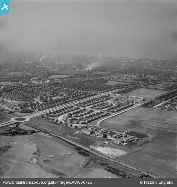
EAW050725 ENGLAND (1953). Housing estates around Church Road (A5036), Litherland, from the north-east, 1953
© Hawlfraint cyfranwyr OpenStreetMap a thrwyddedwyd gan yr OpenStreetMap Foundation. 2026. Trwyddedir y gartograffeg fel CC BY-SA.
Delweddau cyfagos (5)
EAW050725
, Litherland, from the north-east, 1953")
EPW050665

EAW050724
, Litherland, from the north-east, 1953")
EPW050645

EPW050647

Manylion
| Pennawd | [EAW050725] Housing estates around Church Road (A5036), Litherland, from the north-east, 1953 |
| Cyfeirnod | EAW050725 |
| Dyddiad | 29-June-1953 |
| Dolen | |
| Enw lle | LITHERLAND |
| Plwyf | |
| Ardal | |
| Gwlad | ENGLAND |
| Dwyreiniad / Gogleddiad | 334958, 398361 |
| Hydred / Lledred | -2.9801390088405, 53.477699054011 |
| Cyfeirnod Grid Cenedlaethol | SJ350984 |
Pinnau

Shim |
Tuesday 9th of June 2026 09:44:58 AM | |
|
Ange |
Saturday 26th of November 2022 08:31:42 PM | |
|
Ange |
Saturday 26th of November 2022 08:31:18 PM | |
|
Ange |
Saturday 26th of November 2022 08:28:36 PM | |
|
Ange |
Saturday 26th of November 2022 08:27:49 PM | |
|
Ange |
Saturday 26th of November 2022 08:26:57 PM | |
|
Ange |
Saturday 26th of November 2022 08:25:10 PM | |
|
Lancashire Lass |
Tuesday 30th of August 2016 08:52:11 PM | |
|
Lancashire Lass |
Tuesday 30th of August 2016 08:51:28 PM | |
|
Lancashire Lass |
Tuesday 30th of August 2016 08:49:19 PM |