
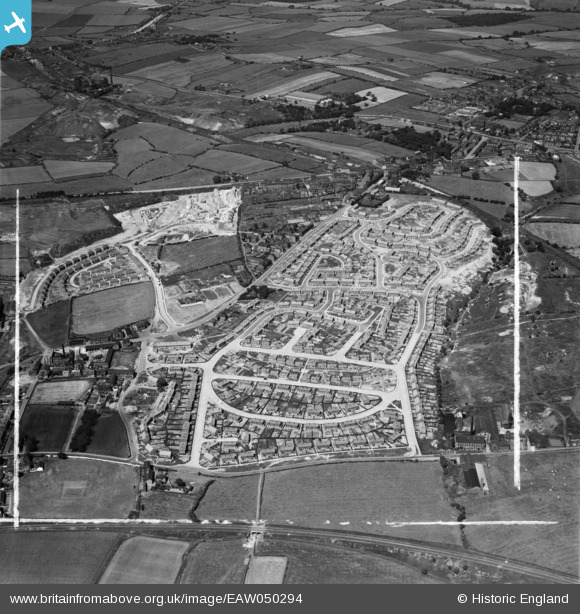
EAW050294 ENGLAND (1953). Council estate at Chickenley, Dewsbury, 1953. This image was marked by Aerofilms Ltd for photo editing.
© Hawlfraint cyfranwyr OpenStreetMap a thrwyddedwyd gan yr OpenStreetMap Foundation. 2026. Trwyddedir y gartograffeg fel CC BY-SA.
Delweddau cyfagos (9)
EAW050294

EAW050298

EAW050299

EAW050297

EAW050301

EAW050295

EAW050307

EAW050308

EAW050303

Manylion
| Pennawd | [EAW050294] Council estate at Chickenley, Dewsbury, 1953. This image was marked by Aerofilms Ltd for photo editing. |
| Cyfeirnod | EAW050294 |
| Dyddiad | 3-July-1953 |
| Dolen | |
| Enw lle | DEWSBURY |
| Plwyf | |
| Ardal | |
| Gwlad | ENGLAND |
| Dwyreiniad / Gogleddiad | 426548, 421289 |
| Hydred / Lledred | -1.5979616951679, 53.687150991785 |
| Cyfeirnod Grid Cenedlaethol | SE265213 |
Pinnau

Michael |
Wednesday 13th of November 2019 01:49:37 PM | |

Brick Collector |
Thursday 9th of October 2014 09:24:15 PM | |
|
Brick Collector |
Thursday 9th of October 2014 08:52:04 PM | |
|
Brick Collector |
Thursday 9th of October 2014 08:49:47 PM | |
|
Brick Collector |
Thursday 9th of October 2014 08:44:33 PM |