
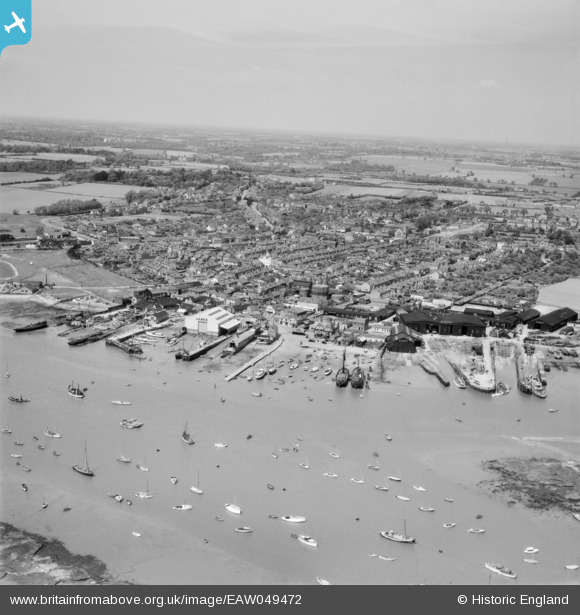
EAW049472 ENGLAND (1953). The waterfront and town, Brightlingsea, from the south, 1953
© Hawlfraint cyfranwyr OpenStreetMap a thrwyddedwyd gan yr OpenStreetMap Foundation. 2026. Trwyddedir y gartograffeg fel CC BY-SA.
Delweddau cyfagos (11)
EAW049472

EPW041411

EAW049473

EAW024663

EAW024664

EPW014282

EPW014285

EPW041414

EAW049471

EPW041412

EAW049470

Manylion
| Pennawd | [EAW049472] The waterfront and town, Brightlingsea, from the south, 1953 |
| Cyfeirnod | EAW049472 |
| Dyddiad | 19-May-1953 |
| Dolen | |
| Enw lle | BRIGHTLINGSEA |
| Plwyf | BRIGHTLINGSEA |
| Ardal | |
| Gwlad | ENGLAND |
| Dwyreiniad / Gogleddiad | 608607, 216017 |
| Hydred / Lledred | 1.0260625383501, 51.803366991775 |
| Cyfeirnod Grid Cenedlaethol | TM086160 |
Pinnau

Gilly |
Tuesday 7th of September 2021 07:24:23 PM | |
|
ken |
Sunday 9th of August 2015 11:40:23 AM | |
|
Paul S |
Friday 8th of August 2014 01:33:44 PM | |
|
Paul S |
Friday 8th of August 2014 01:32:26 PM | |
|
Paul S |
Friday 8th of August 2014 01:31:29 PM | |
|
Paul S |
Friday 8th of August 2014 01:29:52 PM |