
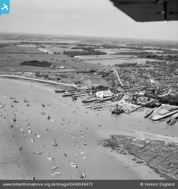
EAW049473 ENGLAND (1953). Brightlingsea Creek, the waterfront and town, Brightlingsea, from the south-east, 1953
© Hawlfraint cyfranwyr OpenStreetMap a thrwyddedwyd gan yr OpenStreetMap Foundation. 2026. Trwyddedir y gartograffeg fel CC BY-SA.
Delweddau cyfagos (8)
EAW049473

EPW041411

EAW049472

EAW024663

EAW024664

EPW014282

EPW014285

EAW049471

Manylion
| Pennawd | [EAW049473] Brightlingsea Creek, the waterfront and town, Brightlingsea, from the south-east, 1953 |
| Cyfeirnod | EAW049473 |
| Dyddiad | 19-May-1953 |
| Dolen | |
| Enw lle | BRIGHTLINGSEA |
| Plwyf | BRIGHTLINGSEA |
| Ardal | |
| Gwlad | ENGLAND |
| Dwyreiniad / Gogleddiad | 608627, 215987 |
| Hydred / Lledred | 1.0263341684336, 51.803090145602 |
| Cyfeirnod Grid Cenedlaethol | TM086160 |
Pinnau

Sparky |
Thursday 26th of October 2017 08:13:10 PM | |

john |
Saturday 4th of April 2015 02:52:04 AM | |
|
john |
Saturday 4th of April 2015 02:51:28 AM | |
|
john |
Saturday 4th of April 2015 02:49:59 AM | |
|
john |
Saturday 4th of April 2015 02:49:31 AM | |
|
MB |
Monday 9th of June 2014 10:21:48 AM | |
|
MB |
Monday 9th of June 2014 10:21:09 AM | |
|
MB |
Monday 9th of June 2014 10:19:42 AM | |
|
MB |
Monday 9th of June 2014 10:18:52 AM |