
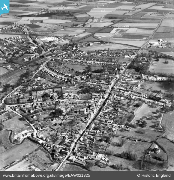
EAW021825 ENGLAND (1949). The town, Witham, 1949. This image has been produced from a print.
© Hawlfraint cyfranwyr OpenStreetMap a thrwyddedwyd gan yr OpenStreetMap Foundation. 2026. Trwyddedir y gartograffeg fel CC BY-SA.
Delweddau cyfagos (8)
EAW021825

EAW021826

EAW021827

EPW046366

EPW046365

EPW046367

EPW046364

EPW049277

Manylion
| Pennawd | [EAW021825] The town, Witham, 1949. This image has been produced from a print. |
| Cyfeirnod | EAW021825 |
| Dyddiad | 9-April-1949 |
| Dolen | |
| Enw lle | WITHAM |
| Plwyf | WITHAM |
| Ardal | |
| Gwlad | ENGLAND |
| Dwyreiniad / Gogleddiad | 582084, 214636 |
| Hydred / Lledred | 0.64106650966771, 51.800229707082 |
| Cyfeirnod Grid Cenedlaethol | TL821146 |
Pinnau

Matt Aldred edob.mattaldred.com |
Thursday 11th of June 2020 07:16:01 PM | |
|
Matt Aldred edob.mattaldred.com |
Thursday 11th of June 2020 06:33:32 PM | |
|
Matt Aldred edob.mattaldred.com |
Thursday 11th of June 2020 06:33:08 PM |