
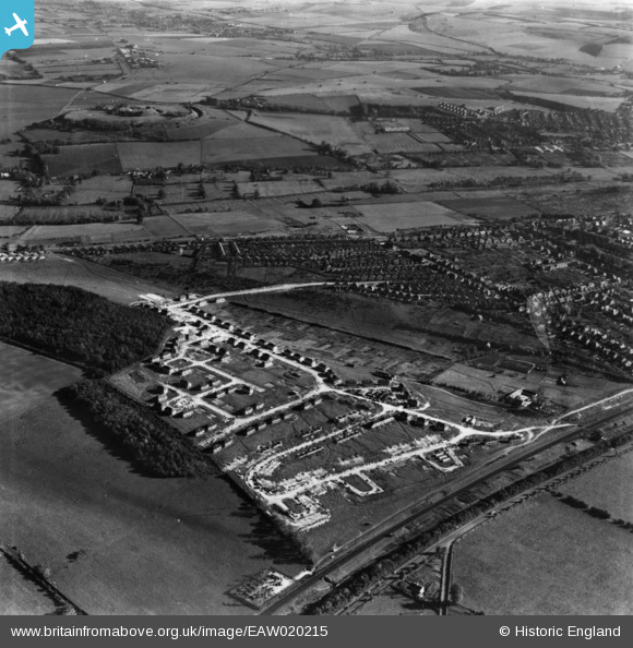
EAW020215 ENGLAND (1948). Housing development surrounding Winding Way, Western Way and environs, Salisbury, from the west, 1948. This image has been produced from a print.
© Hawlfraint cyfranwyr OpenStreetMap a thrwyddedwyd gan yr OpenStreetMap Foundation. 2026. Trwyddedir y gartograffeg fel CC BY-SA.
Delweddau cyfagos (8)
EAW020215

EAW020214

EAW020213

EAW020216

EAW020209

EAW020211

EAW020210

EAW020212

Manylion
| Pennawd | [EAW020215] Housing development surrounding Winding Way, Western Way and environs, Salisbury, from the west, 1948. This image has been produced from a print. |
| Cyfeirnod | EAW020215 |
| Dyddiad | 26-October-1948 |
| Dolen | |
| Enw lle | SALISBURY |
| Plwyf | SALISBURY |
| Ardal | |
| Gwlad | ENGLAND |
| Dwyreiniad / Gogleddiad | 411882, 131255 |
| Hydred / Lledred | -1.8303593672609, 51.079961109504 |
| Cyfeirnod Grid Cenedlaethol | SU119313 |
Pinnau
Byddwch y cyntaf i ychwanegu sylw at y ddelwedd hon!