
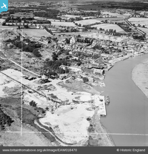
EAW018470 ENGLAND (1948). The Rowhedge Ironworks Co Shipbuilding Yard and the village, Rowhedge, 1948. This image was marked by Aerofilms Ltd for photo editing.
© Hawlfraint cyfranwyr OpenStreetMap a thrwyddedwyd gan yr OpenStreetMap Foundation. 2026. Trwyddedir y gartograffeg fel CC BY-SA.
Delweddau cyfagos (7)
EAW018470

EAW018473

EAW018472

EAW018474

EAW018471

EAW018469

EAW018468

Manylion
| Pennawd | [EAW018470] The Rowhedge Ironworks Co Shipbuilding Yard and the village, Rowhedge, 1948. This image was marked by Aerofilms Ltd for photo editing. |
| Cyfeirnod | EAW018470 |
| Dyddiad | 1-September-1948 |
| Dolen | |
| Enw lle | ROWHEDGE |
| Plwyf | EAST DONYLAND |
| Ardal | |
| Gwlad | ENGLAND |
| Dwyreiniad / Gogleddiad | 603252, 221423 |
| Hydred / Lledred | 0.95166956108551, 51.853885435727 |
| Cyfeirnod Grid Cenedlaethol | TM033214 |
Pinnau

keithb |
Saturday 4th of April 2015 11:42:32 AM | |

DL1970 |
Monday 3rd of November 2014 04:47:09 PM | |
|
cptpies |
Thursday 9th of January 2014 03:41:25 PM |

Cyfraniadau Grŵp

WWII Type 24 Pillbox (e18089), Rowhedge. |
cptpies |
Thursday 9th of January 2014 03:41:48 PM |