
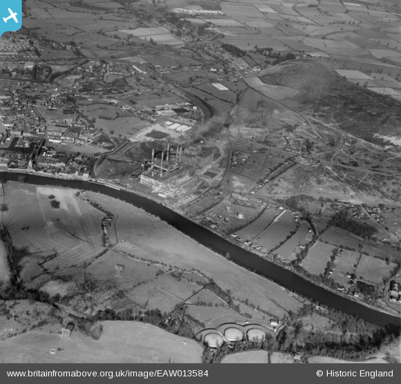
EAW013584 ENGLAND (1948). Stourport Power Station and environs, Stourport-on-Severn, 1948
© Hawlfraint cyfranwyr OpenStreetMap a thrwyddedwyd gan yr OpenStreetMap Foundation. 2026. Trwyddedir y gartograffeg fel CC BY-SA.
Delweddau cyfagos (17)
EAW013584

EAW013592

EAW013588

EAW013585

EAW013593

EAW013587

EPW015080

EPW041764

EAW013586

EPW041763

EPW015081

EAW013591

EAW013583

EAW013589

EAW013582

EAW013590

EAW013581

Manylion
| Pennawd | [EAW013584] Stourport Power Station and environs, Stourport-on-Severn, 1948 |
| Cyfeirnod | EAW013584 |
| Dyddiad | 9-March-1948 |
| Dolen | |
| Enw lle | STOURPORT-ON-SEVERN |
| Plwyf | STOURPORT-ON-SEVERN |
| Ardal | |
| Gwlad | ENGLAND |
| Dwyreiniad / Gogleddiad | 381496, 270652 |
| Hydred / Lledred | -2.2715865391465, 52.333256415506 |
| Cyfeirnod Grid Cenedlaethol | SO815707 |
Pinnau

Matt Aldred edob.mattaldred.com |
Monday 27th of February 2023 05:38:10 PM | |

redmist |
Monday 1st of November 2021 11:35:27 PM | |
|
redmist |
Monday 1st of November 2021 08:47:27 PM | |
|
redmist |
Monday 1st of November 2021 08:46:51 PM | |
|
redmist |
Monday 1st of November 2021 08:46:25 PM |