
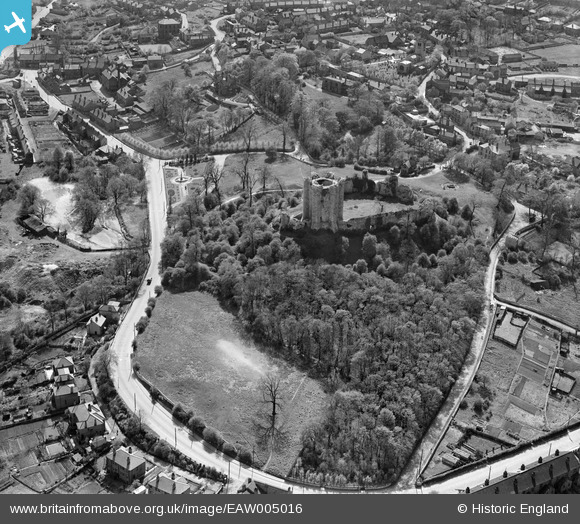
EAW005016 ENGLAND (1947). Conisbrough Castle, Conisbrough, 1947
© Hawlfraint cyfranwyr OpenStreetMap a thrwyddedwyd gan yr OpenStreetMap Foundation. 2026. Trwyddedir y gartograffeg fel CC BY-SA.
Delweddau cyfagos (7)
EAW005016

EAW005017

EAW005018

EAW005019

EAW005020

EPW014866

EPW014865

Manylion
| Pennawd | [EAW005016] Conisbrough Castle, Conisbrough, 1947 |
| Cyfeirnod | EAW005016 |
| Dyddiad | 7-May-1947 |
| Dolen | |
| Enw lle | CONISBROUGH |
| Plwyf | |
| Ardal | |
| Gwlad | ENGLAND |
| Dwyreiniad / Gogleddiad | 451495, 398915 |
| Hydred / Lledred | -1.2238909914902, 53.484178563985 |
| Cyfeirnod Grid Cenedlaethol | SK515989 |
Pinnau

totoro |
Monday 14th of October 2013 10:37:29 AM | |
|
totoro |
Monday 14th of October 2013 10:36:19 AM | |
|
totoro |
Monday 14th of October 2013 10:35:58 AM | |
|
totoro |
Monday 14th of October 2013 10:34:36 AM | |
|
totoro |
Monday 14th of October 2013 10:34:00 AM | |
|
totoro |
Monday 14th of October 2013 10:31:59 AM | |
|
totoro |
Monday 14th of October 2013 10:31:39 AM | |
|
totoro |
Monday 14th of October 2013 10:31:18 AM |