
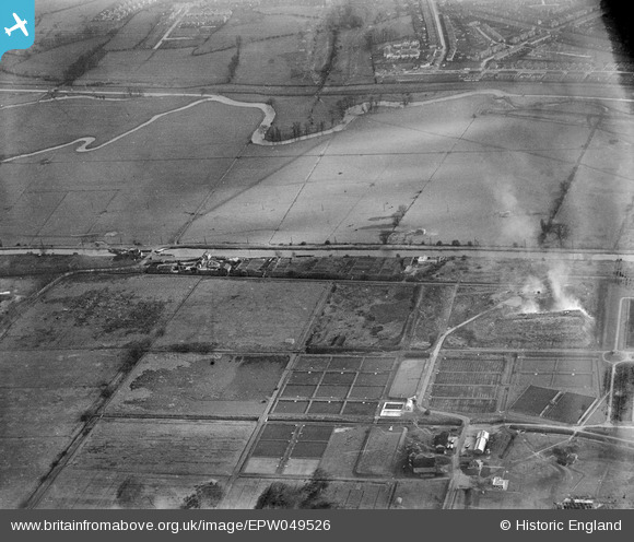
EPW049526 ENGLAND (1935). Edmonton U.D. Council Sewage Farm and Filter Beds, Lower Edmonton, 1935
© Copyright OpenStreetMap contributors and licensed by the OpenStreetMap Foundation. 2026. Cartography is licensed as CC BY-SA.
Nearby Images (22)
EPW049526

EPW046016

EPW046446

EPW053847
 Reservoir under construction, Edmonton, 1937")
EPW048903

EPW046014

EPW050862

EPW050863

EPW060209
 Reservoir under construction, Edmonton, 1938")
EPW058463
 Reservoir under construction, Edmonton, from the south, 1938")
EPW055973

EAW040927

EPW050865

EPW053838
 Reservoir under construction, Edmonton, 1937")
EPW056327

EPW046015

EPW046445

EPW052281

EPW046021

EPW055983

EPW049708

EPW060643

Details
| Title | [EPW049526] Edmonton U.D. Council Sewage Farm and Filter Beds, Lower Edmonton, 1935 |
| Reference | EPW049526 |
| Date | December-1935 |
| Link | |
| Place name | LOWER EDMONTON |
| Parish | |
| District | |
| Country | ENGLAND |
| Easting / Northing | 536207, 193526 |
| Longitude / Latitude | -0.032120153710499, 51.623577739235 |
| National Grid Reference | TQ362935 |
Pins
Be the first to add a comment to this image!