
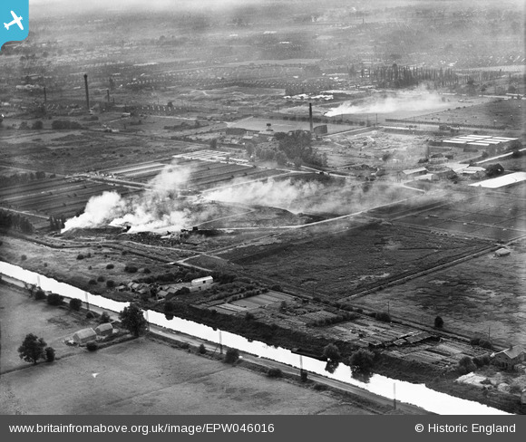
EPW046016 ENGLAND (1934). Edmonton Urban District Council Sewage Farm, Edmonton, from the north-east, 1934
© Copyright OpenStreetMap contributors and licensed by the OpenStreetMap Foundation. 2026. Cartography is licensed as CC BY-SA.
Nearby Images (16)
EPW046016

EPW049526

EPW048903

EPW060209
 Reservoir under construction, Edmonton, 1938")
EPW050862

EPW046014

EPW050863

EPW046015

EPW046021

EPW053838
 Reservoir under construction, Edmonton, 1937")
EPW046446

EPW046018

EPW053847
 Reservoir under construction, Edmonton, 1937")
EPW049531

EPW050865

EPW046019

Details
| Title | [EPW046016] Edmonton Urban District Council Sewage Farm, Edmonton, from the north-east, 1934 |
| Reference | EPW046016 |
| Date | September-1934 |
| Link | |
| Place name | EDMONTON |
| Parish | |
| District | |
| Country | ENGLAND |
| Easting / Northing | 536166, 193465 |
| Longitude / Latitude | -0.03273585040639, 51.623039455075 |
| National Grid Reference | TQ362935 |
Pins
Be the first to add a comment to this image!