
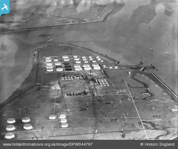
EPW044787 ENGLAND (1934). The Coryton Oil Refinery, Coryton, 1934
© Copyright OpenStreetMap contributors and licensed by the OpenStreetMap Foundation. 2026. Cartography is licensed as CC BY-SA.
Nearby Images (21)
EPW044787

EPW044782

EAW048360

EAW043891

EPW044785

EAW047428

EAW048301

EAW034432

EAW048300

EPW044784

EAW048361

EAW047429

EPW045635

EAW048366

EAW048364

EPW044783

EAW048363

EAW048370

EPW045634

EAW048362

EAW048365

Details
| Title | [EPW044787] The Coryton Oil Refinery, Coryton, 1934 |
| Reference | EPW044787 |
| Date | June-1934 |
| Link | |
| Place name | CORYTON |
| Parish | |
| District | |
| Country | ENGLAND |
| Easting / Northing | 575836, 182189 |
| Longitude / Latitude | 0.53421960321291, 51.510744740342 |
| National Grid Reference | TQ758822 |
Pins
Be the first to add a comment to this image!