
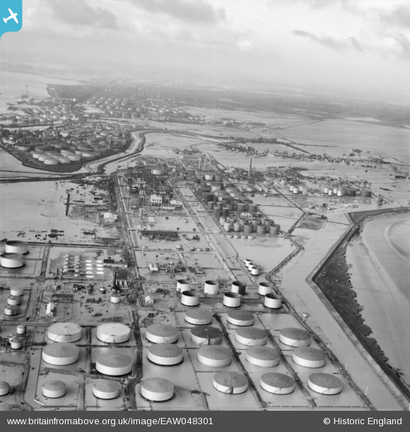
EAW048301 ENGLAND (1953). Flooding at the Coryton Oil Refinery, Coryton, from the east, 1953
© Copyright OpenStreetMap contributors and licensed by the OpenStreetMap Foundation. 2026. Cartography is licensed as CC BY-SA.
Nearby Images (12)
EAW048301

EAW034432

EPW044785

EPW044784

EAW048360

EPW044783

EAW048300

EPW044782

EPW044787

EAW039887

EAW048370

EAW048363

Details
| Title | [EAW048301] Flooding at the Coryton Oil Refinery, Coryton, from the east, 1953 |
| Reference | EAW048301 |
| Date | 2-February-1953 |
| Link | |
| Place name | CORYTON |
| Parish | |
| District | |
| Country | ENGLAND |
| Easting / Northing | 575709, 182282 |
| Longitude / Latitude | 0.53243750426823, 51.511619735221 |
| National Grid Reference | TQ757823 |
Pins

Tokyo |
Sunday 31st of January 2016 08:34:55 PM |