
EPW042864 ENGLAND (1933). The Royal Harbour and the town, Ramsgate, 1933

© Copyright OpenStreetMap contributors and licensed by the OpenStreetMap Foundation. 2026. Cartography is licensed as CC BY-SA.
Nearby Images (48)
EPW042864

EAW009051

EAW024843

EPW000596

EPW039324

EPW039353

EPW000092

EPW000096

EPW035449

EPW009172

EPW000087

EPW039325

EPW042861

EAW015836

EPW009173

EPW048783

EPW035453

EPW018646

EAW020486

EAW006169

EPW009174

EAW006165

EPW000600

EAW024842

EAW009056

EAW009058

EPW000093

EAW006166

EAW006164

EAW009014

EAW024844

EPW000604

EAW009057

EAW006170

EAW017589

EAW006171

EPW048858

EAW009006

EPW018650

EAW009049

EAW009009

EPW000599

EAW006168

EAW017592

EAW009007

EPW035450

EPW039354

EAW009008

Details
| Title | [EPW042864] The Royal Harbour and the town, Ramsgate, 1933 |
| Reference | EPW042864 |
| Date | August-1933 |
| Link | |
| Place name | RAMSGATE |
| Parish | RAMSGATE |
| District | |
| Country | ENGLAND |
| Easting / Northing | 638590, 164684 |
| Longitude / Latitude | 1.4253600436445, 51.330607310531 |
| National Grid Reference | TR386647 |
Pins

mattymouse |
Sunday 28th of June 2020 08:33:57 PM |
User Comment Contributions

George 1V Monument |

Alan McFaden |
Tuesday 14th of October 2014 10:24:51 AM |
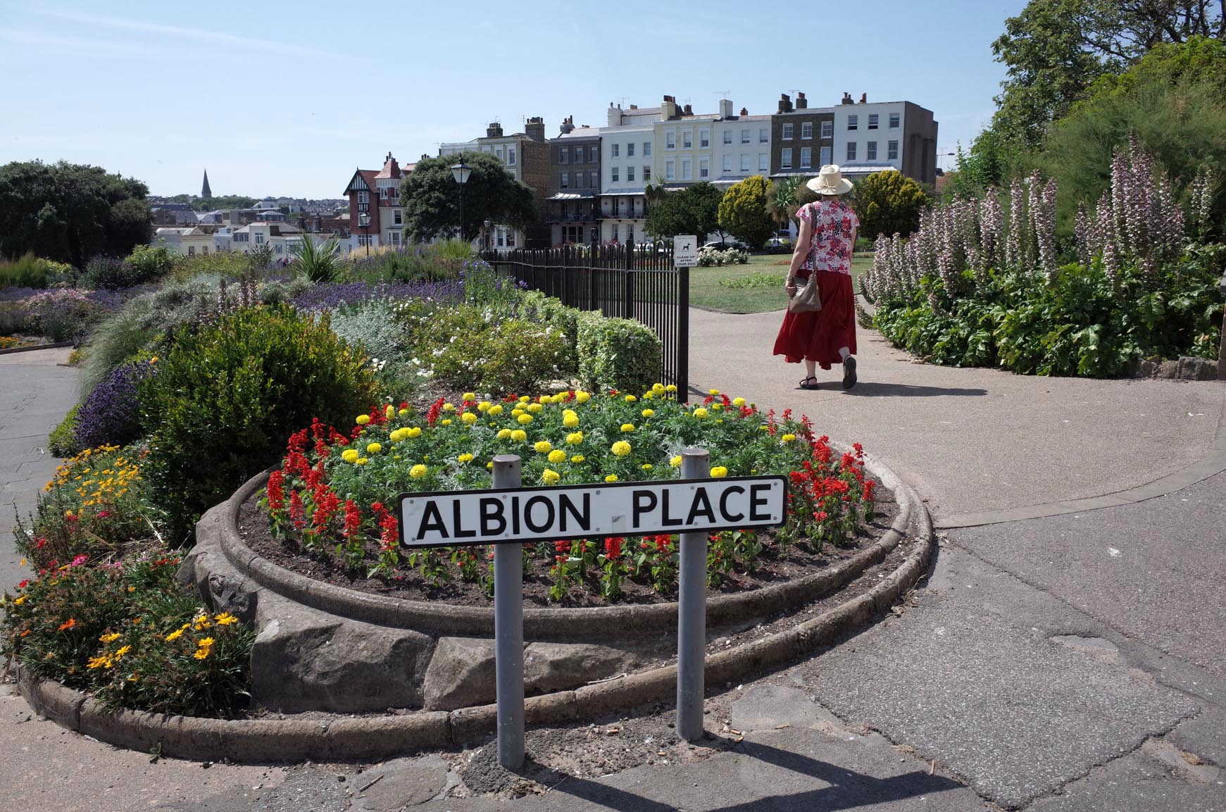
Albion Place Gardens |
Alan McFaden |
Tuesday 14th of October 2014 10:24:32 AM |
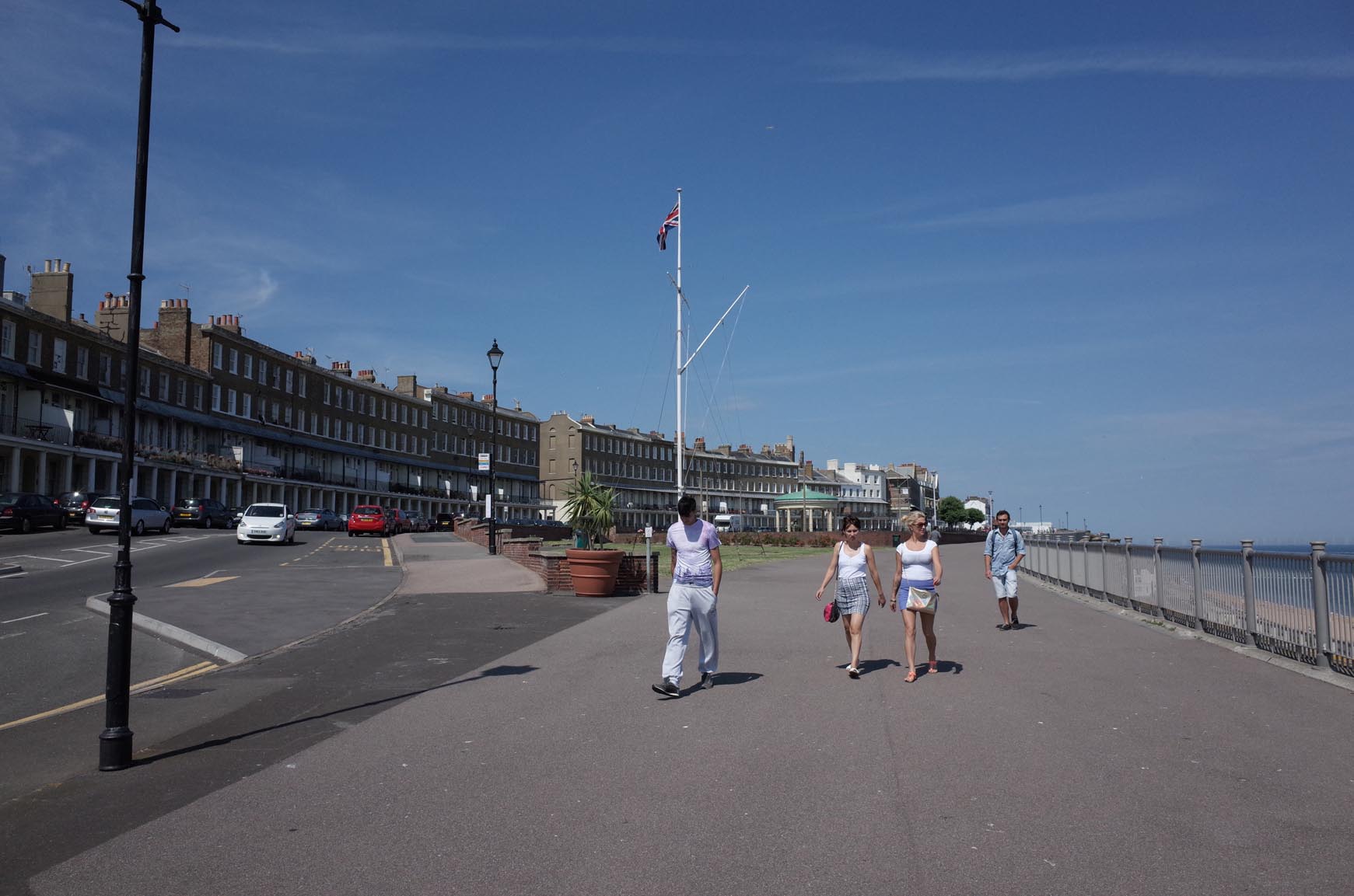
Wellington Cresent Area |
Alan McFaden |
Tuesday 14th of October 2014 10:24:11 AM |
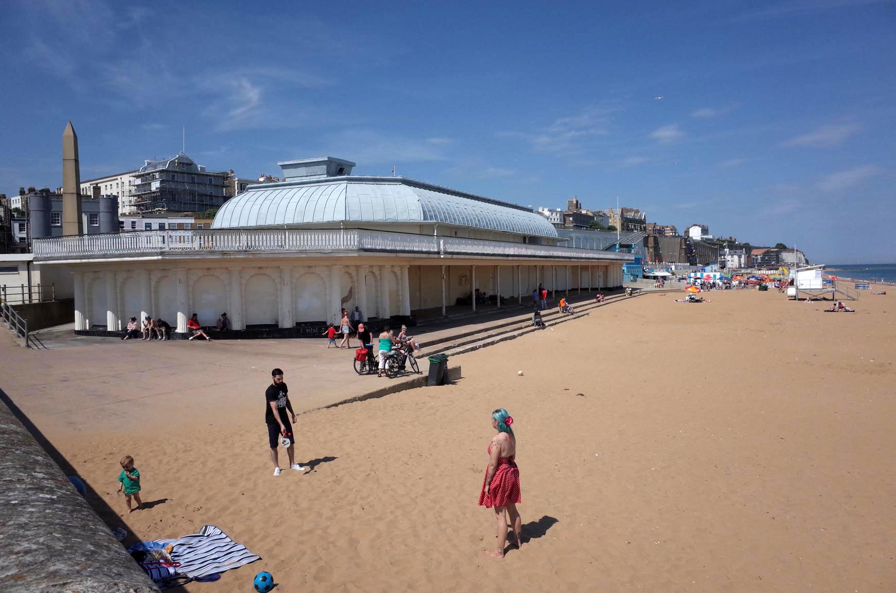
Ramsgate Beach |
Alan McFaden |
Tuesday 14th of October 2014 10:23:48 AM |
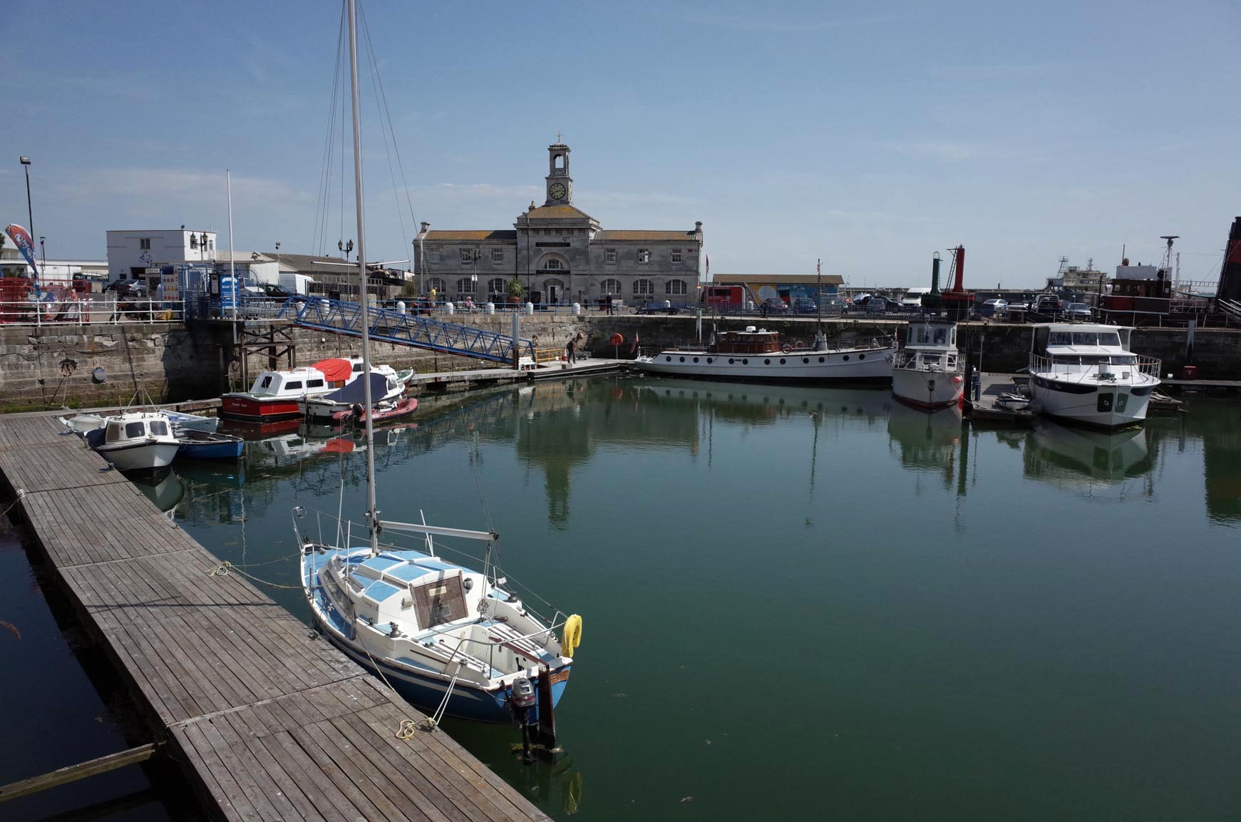
Ramsgate Harbour |
Alan McFaden |
Tuesday 14th of October 2014 10:23:29 AM |