
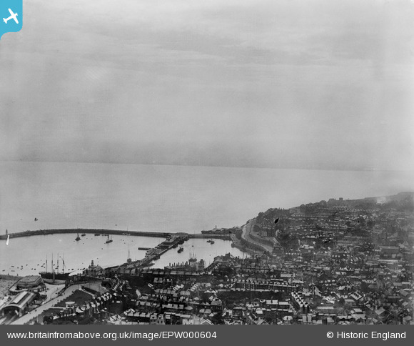
EPW000604 ENGLAND (1920). The Basin, Ramsgate, from the north-east, 1920
© Copyright OpenStreetMap contributors and licensed by the OpenStreetMap Foundation. 2026. Cartography is licensed as CC BY-SA.
Nearby Images (42)
EPW000604

EAW006164

EAW006165

EPW000096

EPW000092

EAW015836

EAW015835

EPW048783

EPW035449

EPW039324

EAW017592

EAW009051

EAW024843

EPW042864

EPW018653

EAW009049

EPW018650

EPW052883

EPW000087

EAW009057

EPW000093

EAW009006

EAW006169

EPW039325

EPW009172

EAW009056

EPW035453

EPW009173

EAW006166

EAW009058

EAW009007

EAW006171

EPW000091

EPW035450

EAW006170

EPW000596

EPW000598

EPW052884

EPW039353

EAW006168

EAW020486

EPW018646

Details
| Title | [EPW000604] The Basin, Ramsgate, from the north-east, 1920 |
| Reference | EPW000604 |
| Date | April-1920 |
| Link | |
| Place name | RAMSGATE |
| Parish | RAMSGATE |
| District | |
| Country | ENGLAND |
| Easting / Northing | 638420, 164786 |
| Longitude / Latitude | 1.4229923423517, 51.331594225509 |
| National Grid Reference | TR384648 |
Pins

Alan McFaden |
Wednesday 10th of December 2014 02:44:35 PM | |

Survey of London historian |
Thursday 2nd of August 2012 11:35:31 PM |

User Comment Contributions

Ramsgate Harbour |
Alan McFaden |
Wednesday 10th of December 2014 02:44:06 PM |