
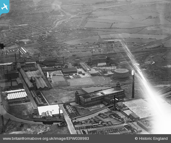
EPW038983 ENGLAND (1932). Greenbank Gas Works, Imperial Cotton Mills and environs, Blackburn, 1932
© Copyright OpenStreetMap contributors and licensed by the OpenStreetMap Foundation. 2026. Cartography is licensed as CC BY-SA.
Nearby Images (20)
EPW038983

EPW038980

EAW025529

EPW038981

EPW038982

EPW038979

EAW025532

EAW025530

EAW025531

EAW025537

EAW033861

EAW033866

EAW033860

EAW033859

EAW033863

EAW033862

EAW033865

EAW033864

EAW025527

EAW025538

Details
| Title | [EPW038983] Greenbank Gas Works, Imperial Cotton Mills and environs, Blackburn, 1932 |
| Reference | EPW038983 |
| Date | July-1932 |
| Link | |
| Place name | BLACKBURN |
| Parish | |
| District | |
| Country | ENGLAND |
| Easting / Northing | 369905, 428861 |
| Longitude / Latitude | -2.4564881742184, 53.755022194272 |
| National Grid Reference | SD699289 |
