
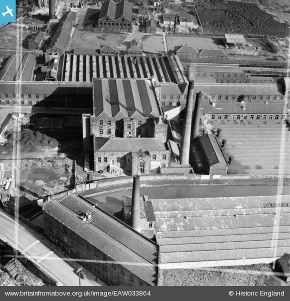
EAW033864 ENGLAND (1950). Alston Mill, Little Harwood, 1950. This image was marked by Aerofilms Ltd for photo editing.
© Copyright OpenStreetMap contributors and licensed by the OpenStreetMap Foundation. 2026. Cartography is licensed as CC BY-SA.
Nearby Images (13)
EAW033864

EAW033859

EAW033863

EAW033865

EAW033862

EAW033866

EAW033860

EAW033861

EAW025531

EAW025530

EAW025529

EPW038983

EPW038980

Details
| Title | [EAW033864] Alston Mill, Little Harwood, 1950. This image was marked by Aerofilms Ltd for photo editing. |
| Reference | EAW033864 |
| Date | 16-October-1950 |
| Link | |
| Place name | LITTLE HARWOOD |
| Parish | |
| District | |
| Country | ENGLAND |
| Easting / Northing | 369699, 428692 |
| Longitude / Latitude | -2.4595961381318, 53.753491149791 |
| National Grid Reference | SD697287 |
Pins
Be the first to add a comment to this image!