
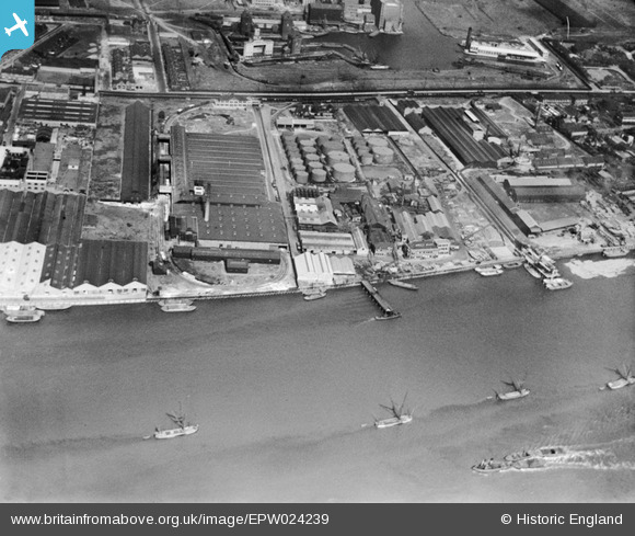
EPW024239 ENGLAND (1928). Minoco Wharf and environs, Silvertown, 1928
© Copyright OpenStreetMap contributors and licensed by the OpenStreetMap Foundation. 2026. Cartography is licensed as CC BY-SA.
Nearby Images (26)
EPW024239

EPW024230

EPW024233

EPW024232

EPW024231

EPW024238

EPW024236

EPW009698

EPW009696

EPW024241

EPW009693

EPW024237

EPW024234

EPW009695

EPW009694

EPW024235

EAW021112

EPW006144

EAW034526

EAW034519

EAW034521

EAW034528

EAW034518

EAW034520

EAW034523

EAW034525

Details
| Title | [EPW024239] Minoco Wharf and environs, Silvertown, 1928 |
| Reference | EPW024239 |
| Date | September-1928 |
| Link | |
| Place name | SILVERTOWN |
| Parish | |
| District | |
| Country | ENGLAND |
| Easting / Northing | 540938, 179770 |
| Longitude / Latitude | 0.030670634961561, 51.498790947768 |
| National Grid Reference | TQ409798 |
Pins

Class31 |
Saturday 28th of February 2015 07:35:40 PM |