
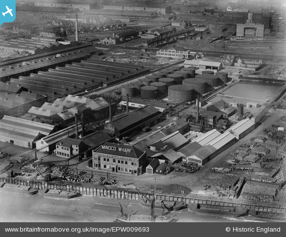
EPW009693 ENGLAND (1923). Minoco Wharf, Silvertown, 1923
© Copyright OpenStreetMap contributors and licensed by the OpenStreetMap Foundation. 2026. Cartography is licensed as CC BY-SA.
Nearby Images (23)
EPW009693

EPW009696

EPW009698

EPW024238

EPW009694

EPW009695

EPW024239

EPW024235

EPW024232

EPW024230

EPW024234

EPW024231

EPW024233

EPW024241

EPW024236

EPW024237

EAW021112

EPW006144

EAW034526

EAW034521

EAW034519

EPW024240

EAW015529
 and the River Thames, Silvertown, 1948. This image has been produced from a damaged negative.")
Details
| Title | [EPW009693] Minoco Wharf, Silvertown, 1923 |
| Reference | EPW009693 |
| Date | 1923 |
| Link | |
| Place name | SILVERTOWN |
| Parish | |
| District | |
| Country | ENGLAND |
| Easting / Northing | 540985, 179825 |
| Longitude / Latitude | 0.031369347284057, 51.499273502275 |
| National Grid Reference | TQ410798 |
Pins
Be the first to add a comment to this image!