
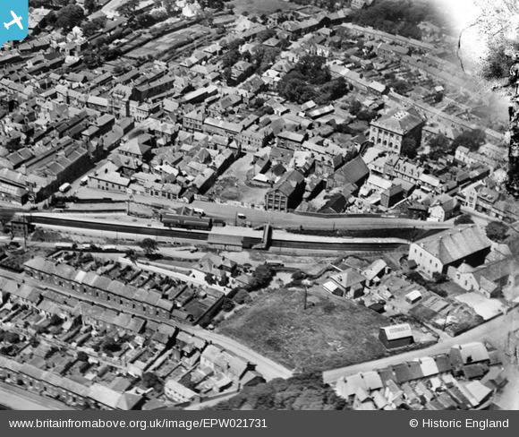
EPW021731 ENGLAND (1928). The railway station and environs, Redruth, 1928
© Copyright OpenStreetMap contributors and licensed by the OpenStreetMap Foundation. 2026. Cartography is licensed as CC BY-SA.
Nearby Images (13)
EPW021731

EPW021730

EPW009902

EPW021732

EPW039787

EPW021734

EPW009905

EPW039786

EPW039789

EAW033649

EAW033647

EPW009904A

EPW009904

Details
| Title | [EPW021731] The railway station and environs, Redruth, 1928 |
| Reference | EPW021731 |
| Date | 24-June-1928 |
| Link | |
| Place name | REDRUTH |
| Parish | REDRUTH |
| District | |
| Country | ENGLAND |
| Easting / Northing | 170039, 42033 |
| Longitude / Latitude | -5.2249584749374, 50.232876859861 |
| National Grid Reference | SW700420 |
Pins

Gary |
Saturday 11th of July 2020 04:35:21 PM | |
|
Stu |
Sunday 27th of January 2013 12:42:08 AM |