EPW009904 ENGLAND (1924). The town centre, Redruth, 1924

© Copyright OpenStreetMap contributors and licensed by the OpenStreetMap Foundation. 2026. Cartography is licensed as CC BY-SA.
Nearby Images (12)
EPW009904

EAW033649

EPW009905

EPW021734

EAW033647

EPW039788

EPW009903

EPW009902

EPW021733

EPW009901

EPW021731

EPW039787

Details
| Title | [EPW009904] The town centre, Redruth, 1924 |
| Reference | EPW009904 |
| Date | March-1924 |
| Link | |
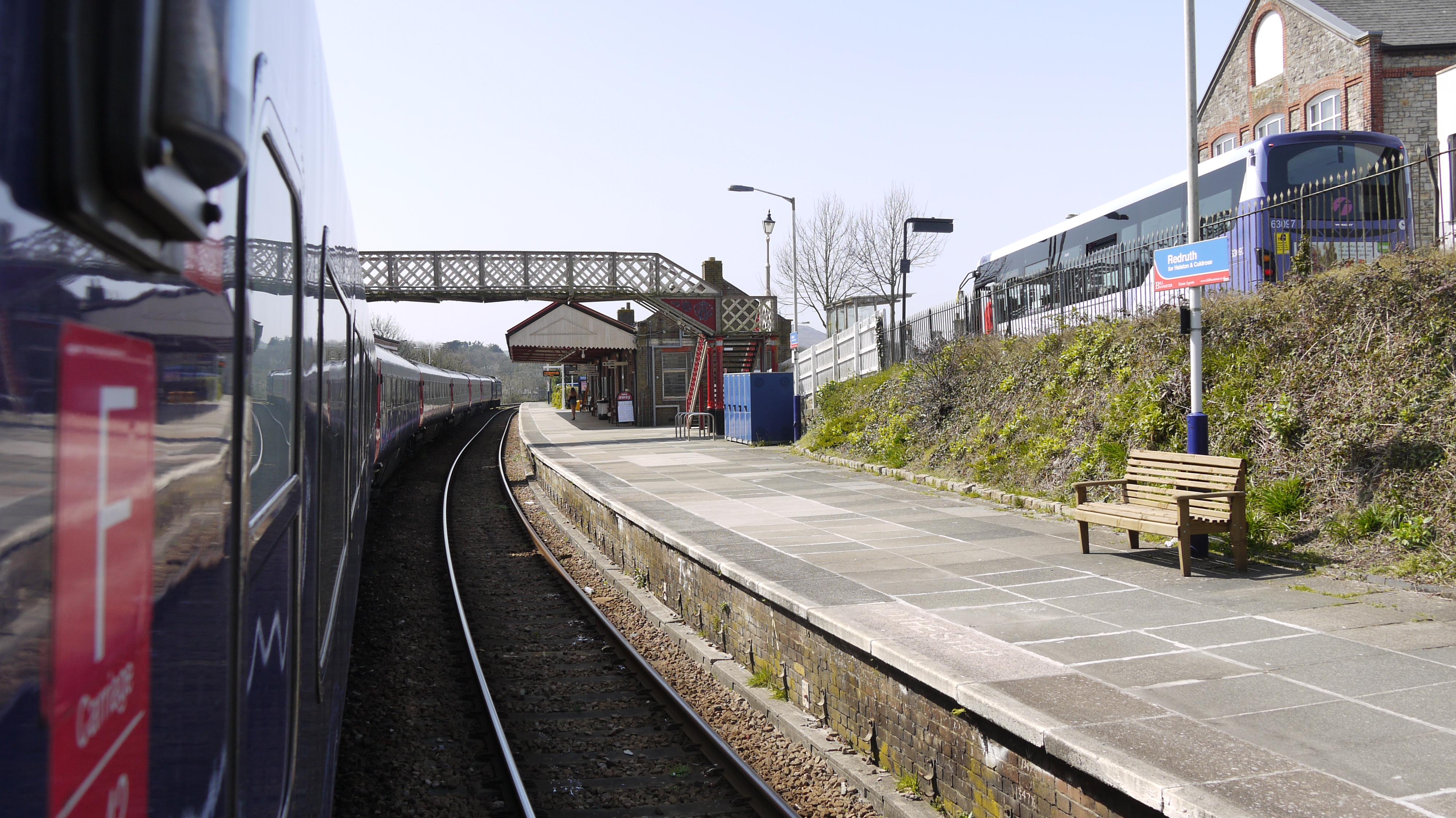
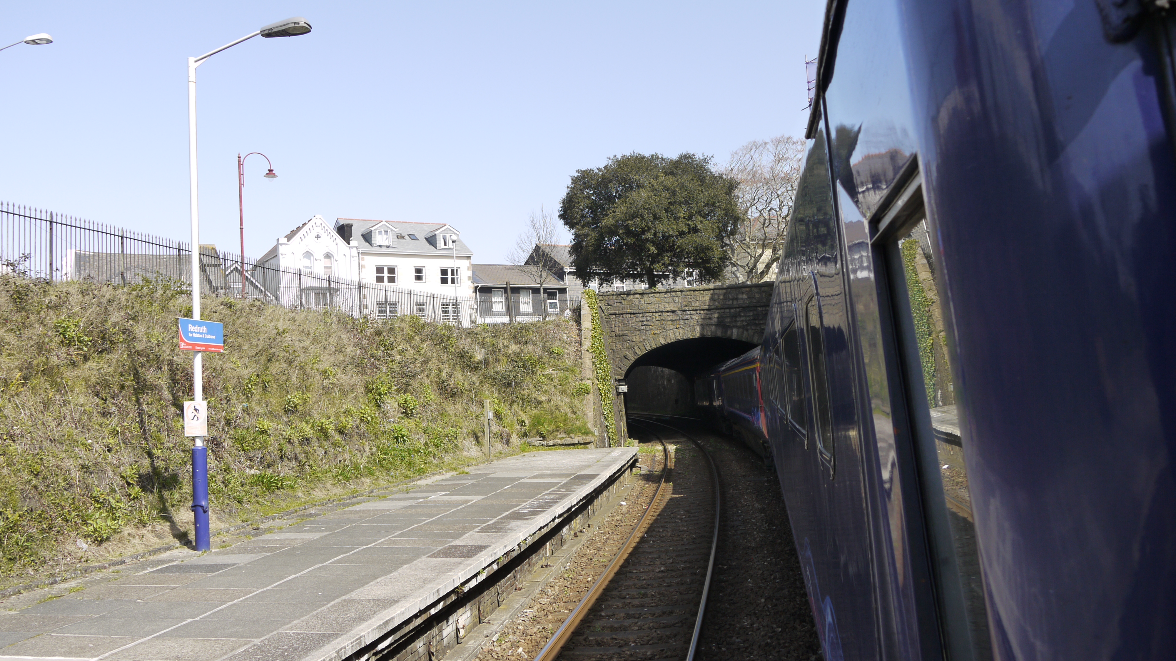
| Place name | REDRUTH |
| Parish | REDRUTH |
| District | |
| Country | ENGLAND |
| Easting / Northing | 169861, 41841 |
| Longitude / Latitude | -5.2273340299082, 50.23108340755 |
| National Grid Reference | SW699418 |
Pins

Pentaprism |
Monday 9th of November 2020 11:59:02 PM | |

Class31 |
Thursday 15th of December 2016 11:55:11 AM | |
|
Class31 |
Thursday 15th of December 2016 11:51:05 AM |