
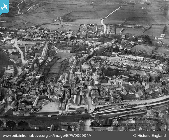
EPW009904A ENGLAND (1924). The town centre, Redruth, 1924
© Copyright OpenStreetMap contributors and licensed by the OpenStreetMap Foundation. 2026. Cartography is licensed as CC BY-SA.
Nearby Images (10)
EPW009904A

EPW039786

EAW033647

EPW021730

EPW021733

EPW009905

EPW021731

EPW009903

EPW021734

EPW009902

Details
| Title | [EPW009904A] The town centre, Redruth, 1924 |
| Reference | EPW009904A |
| Date | March-1924 |
| Link | |
| Place name | REDRUTH |
| Parish | REDRUTH |
| District | |
| Country | ENGLAND |
| Easting / Northing | 169855, 42154 |
| Longitude / Latitude | -5.2276079668973, 50.233891868981 |
| National Grid Reference | SW699422 |
Pins

Pentaprism |
Monday 9th of November 2020 11:52:53 PM |