
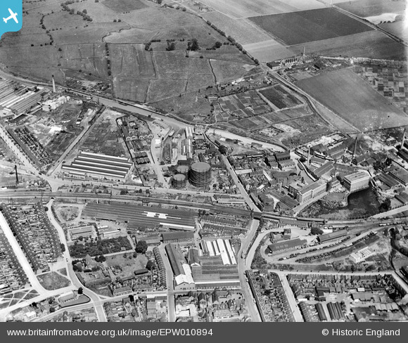
EPW010894 ENGLAND (1924). The Gas Works and surroundings, Dartford, 1924
© Copyright OpenStreetMap contributors and licensed by the OpenStreetMap Foundation. 2026. Cartography is licensed as CC BY-SA.
Nearby Images (26)
EPW010894

EPW061011

EPW010893

EPW061013

EPW057057

EPW010895

EPW021979

EPW061010

EPW061015

EPW028227

EPW021982

EAW001394

EPW006256

EPW061008

EPW021980

EPW010896

EPW061006

EAW001396

EAW001402

EPW061007

EPW061012

EPW021977

EPW010897

EAW001403

EAW013646

EAW013645

Details
| Title | [EPW010894] The Gas Works and surroundings, Dartford, 1924 |
| Reference | EPW010894 |
| Date | June-1924 |
| Link | |
| Place name | DARTFORD |
| Parish | |
| District | |
| Country | ENGLAND |
| Easting / Northing | 554182, 174625 |
| Longitude / Latitude | 0.21910067973635, 51.449101482425 |
| National Grid Reference | TQ542746 |
Pins

Dylan Moore |
Saturday 4th of May 2013 12:15:12 PM |