
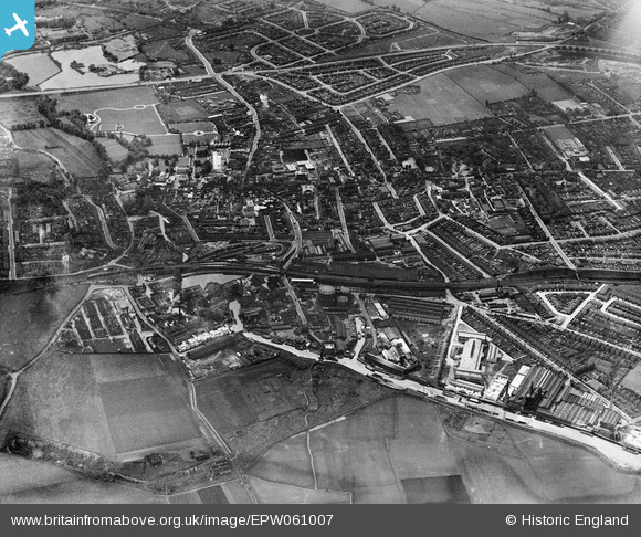
EPW061007 ENGLAND (1939). The town, Dartford, 1939
© Copyright OpenStreetMap contributors and licensed by the OpenStreetMap Foundation. 2026. Cartography is licensed as CC BY-SA.
Nearby Images (20)
EPW061007

EPW021976

EPW010895

EPW061008

EPW021979

EPW021977

EPW061012

EPW021980

EPW061014

EPW021982

EPW021978

EPW061011

EPW057057

EAW001394

EPW061013

EPW010894

EPW010893

EPW061015

EPW028227

EPW061006

Details
| Title | [EPW061007] The town, Dartford, 1939 |
| Reference | EPW061007 |
| Date | 22-May-1939 |
| Link | |
| Place name | DARTFORD |
| Parish | |
| District | |
| Country | ENGLAND |
| Easting / Northing | 554108, 174389 |
| Longitude / Latitude | 0.21793367853375, 51.447000969797 |
| National Grid Reference | TQ541744 |
Pins
Be the first to add a comment to this image!