
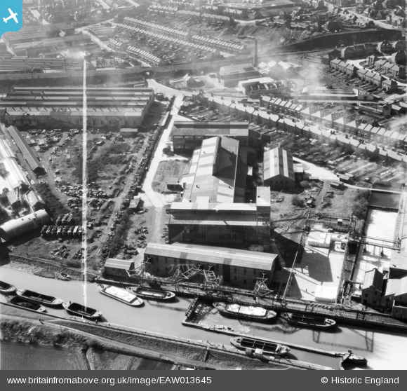
EAW013645 ENGLAND (1948). Wiggins, Teape and Co Paper Mills, Dartford, 1948. This image was marked by Aerofilms Ltd for photo editing.
© Copyright OpenStreetMap contributors and licensed by the OpenStreetMap Foundation. 2026. Cartography is licensed as CC BY-SA.
Nearby Images (20)
EAW013645

EAW013646

EAW013648

EAW013650

EAW013649

EAW013651

EAW013652

EAW013644

EAW013647

EPR000367

EAW013638

EAW013637

EAW013636

EAW013640

EAW013641

EPW061015

EPW061006

EAW013639

EAW013642

EPW010894

Details
| Title | [EAW013645] Wiggins, Teape and Co Paper Mills, Dartford, 1948. This image was marked by Aerofilms Ltd for photo editing. |
| Reference | EAW013645 |
| Date | 10-March-1948 |
| Link | |
| Place name | DARTFORD |
| Parish | |
| District | |
| Country | ENGLAND |
| Easting / Northing | 553982, 174867 |
| Longitude / Latitude | 0.21632978657393, 51.451330485407 |
| National Grid Reference | TQ540749 |
Pins
Be the first to add a comment to this image!