
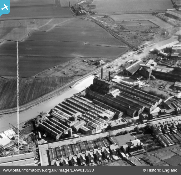
EAW013638 ENGLAND (1948). Wiggins, Teape and Co Paper Mills, Dartford, 1948. This image was marked by Aerofilms Ltd for photo editing.
© Copyright OpenStreetMap contributors and licensed by the OpenStreetMap Foundation. 2026. Cartography is licensed as CC BY-SA.
Nearby Images (17)
EAW013638

EAW013640

EAW013641

EAW013642

EAW013637

EAW013639

EAW013650

EAW013649

EAW013636

EAW013648

EAW013651

EAW013645

EAW013646

EAW013647

EAW013643

EAW013652

EAW013644

Details
| Title | [EAW013638] Wiggins, Teape and Co Paper Mills, Dartford, 1948. This image was marked by Aerofilms Ltd for photo editing. |
| Reference | EAW013638 |
| Date | 10-March-1948 |
| Link | |
| Place name | DARTFORD |
| Parish | |
| District | |
| Country | ENGLAND |
| Easting / Northing | 553942, 175022 |
| Longitude / Latitude | 0.21582196975136, 51.452734170027 |
| National Grid Reference | TQ539750 |
Pins
Be the first to add a comment to this image!