
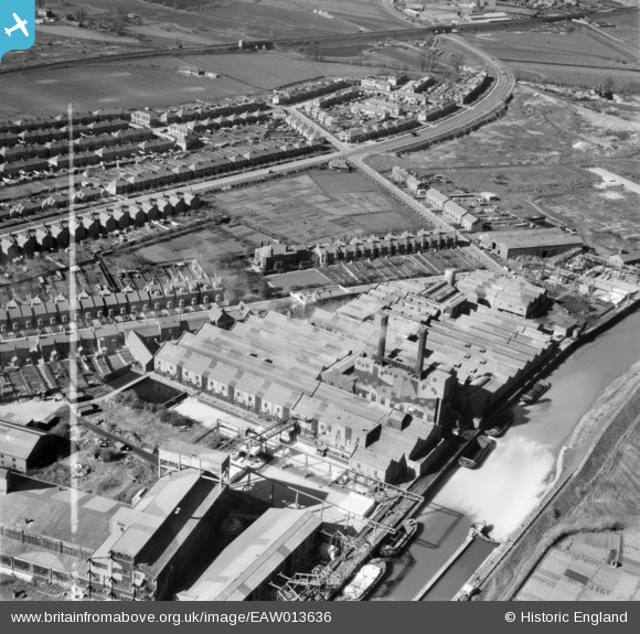
EAW013636 ENGLAND (1948). Wiggins, Teape and Co Paper Mills, Dartford, 1948. This image was marked by Aerofilms Ltd for photo editing.
© Copyright OpenStreetMap contributors and licensed by the OpenStreetMap Foundation. 2026. Cartography is licensed as CC BY-SA.
Nearby Images (18)
EAW013636

EAW013637

EAW013641

EAW013639

EAW013647

EAW013638

EAW013651

EAW013650

EAW013642

EAW013640

EAW013652

EAW013643

EAW013644

EAW013649

EAW013648

EAW013645

EAW013646

EPR000367

Details
| Title | [EAW013636] Wiggins, Teape and Co Paper Mills, Dartford, 1948. This image was marked by Aerofilms Ltd for photo editing. |
| Reference | EAW013636 |
| Date | 10-March-1948 |
| Link | |
| Place name | DARTFORD |
| Parish | |
| District | |
| Country | ENGLAND |
| Easting / Northing | 553820, 174982 |
| Longitude / Latitude | 0.21404993180456, 51.452407897255 |
| National Grid Reference | TQ538750 |
Pins

Sparky |
Sunday 15th of October 2017 08:36:20 PM | |
|
Sparky |
Sunday 15th of October 2017 08:35:10 PM | |
|
Sparky |
Tuesday 22nd of August 2017 09:47:55 PM | |
|
Sparky |
Tuesday 22nd of August 2017 09:46:21 PM | |

MB |
Sunday 9th of February 2014 09:54:19 AM |

