
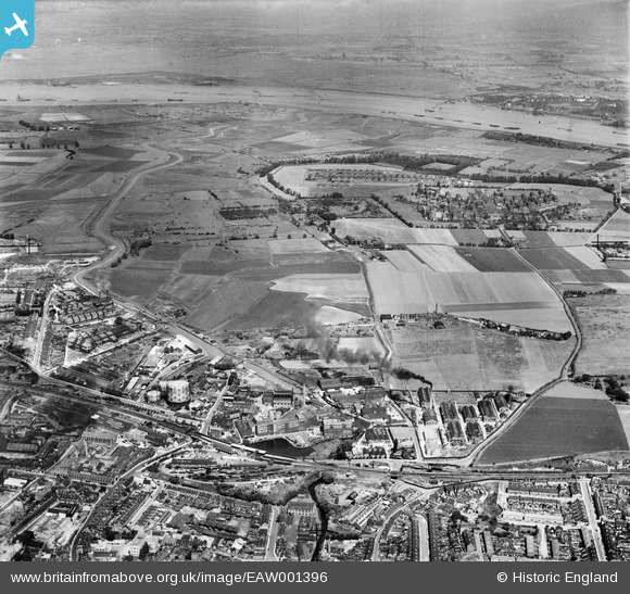
EAW001396 ENGLAND (1946). Burroughs, Wellcome and Co Chemical Works and environs, Dartford, from the south, 1946
© Copyright OpenStreetMap contributors and licensed by the OpenStreetMap Foundation. 2026. Cartography is licensed as CC BY-SA.
Nearby Images (22)
EAW001396

EAW001402

EPW010898

EAW001399

EAW001395

EPW028227

EAW001401

EAW001400

EPW006256

EAW001403

EPW010897

EPR000366

EPW010893

EPR000349

EAW001397

EAW001398

EAW001394

EPW010896

EPW057057

EPW061010

EPW010894

EPW061008

Details
| Title | [EAW001396] Burroughs, Wellcome and Co Chemical Works and environs, Dartford, from the south, 1946 |
| Reference | EAW001396 |
| Date | 2-July-1946 |
| Link | |
| Place name | DARTFORD |
| Parish | |
| District | |
| Country | ENGLAND |
| Easting / Northing | 554412, 174558 |
| Longitude / Latitude | 0.22237909126642, 51.448436754265 |
| National Grid Reference | TQ544746 |
Pins

Sparky |
Tuesday 22nd of August 2017 08:39:45 PM | |
|
Sparky |
Tuesday 22nd of August 2017 08:38:41 PM | |
|
Sparky |
Saturday 8th of July 2017 11:10:51 PM | |

Dartfordboy |
Monday 4th of November 2013 10:59:21 PM | |
|
Dartfordboy |
Monday 4th of November 2013 10:57:16 PM |