
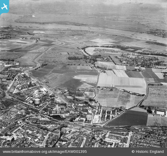
EAW001395 ENGLAND (1946). Burroughs, Wellcome and Co Chemical Works and environs, Dartford, from the south, 1946
© Copyright OpenStreetMap contributors and licensed by the OpenStreetMap Foundation. 2026. Cartography is licensed as CC BY-SA.
Nearby Images (20)
EAW001395

EAW001399

EPW010898

EAW001401

EAW001400

EAW001402

EAW001396

EAW001397

EAW001398

EPR000366

EPW028227

EPW010896

EAW001403

EPR000349

EPW006256

EPW010897

EPW010893

EPW061010

EAW001394

EPW057057

Details
| Title | [EAW001395] Burroughs, Wellcome and Co Chemical Works and environs, Dartford, from the south, 1946 |
| Reference | EAW001395 |
| Date | 2-July-1946 |
| Link | |
| Place name | DARTFORD |
| Parish | |
| District | |
| Country | ENGLAND |
| Easting / Northing | 554467, 174583 |
| Longitude / Latitude | 0.22318095502837, 51.448646397687 |
| National Grid Reference | TQ545746 |
Pins

Sparky |
Saturday 23rd of September 2017 02:56:24 PM | |
|
Sparky |
Saturday 23rd of September 2017 02:55:49 PM | |
|
Sparky |
Tuesday 22nd of August 2017 08:38:05 PM | |
|
Sparky |
Tuesday 22nd of August 2017 08:36:43 PM | |
|
Sparky |
Tuesday 22nd of August 2017 08:36:12 PM | |
|
Sparky |
Tuesday 22nd of August 2017 08:35:15 PM |