
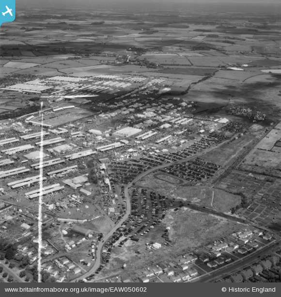
EAW050602 ENGLAND (1953). Blackpool, the Royal Agricultural Show at the Royal Lancashire Showground, 1953. This image was marked by Aerofilms Ltd for photo editing.
© Copyright OpenStreetMap contributors and licensed by the OpenStreetMap Foundation. 2026. Cartography is licensed as CC BY-SA.
Nearby Images (25)
EAW050602

EAW050380

EAW050601

EAW050464

EAW050389

EAW050386

EAW050388

EAW050390

EAW050391

EAW050462

EAW050604

EAW050385

EAW050377

EAW050463

EAW050379

EPW038732
, Blackpool, 1932. This image has been produced from a print.")
EAW050383

EAW050374

EAW050384

EAW050382

EAW050375

EPW038733
, Blackpool, 1932. This image has been produced from a print.")
EAW050461

EPW038731
, Blackpool, 1932. This image has been produced from a print.")
EAW050603

Details
| Title | [EAW050602] Blackpool, the Royal Agricultural Show at the Royal Lancashire Showground, 1953. This image was marked by Aerofilms Ltd for photo editing. |
| Reference | EAW050602 |
| Date | 9-July-1953 |
| Link | |
| Place name | BLACKPOOL |
| Parish | |
| District | |
| Country | ENGLAND |
| Easting / Northing | 333490, 435603 |
| Longitude / Latitude | -3.0102256774256, 53.812241333973 |
| National Grid Reference | SD335356 |
Pins

Matt Aldred edob.mattaldred.com |
Saturday 15th of May 2021 04:39:58 PM | |
|
Matt Aldred edob.mattaldred.com |
Saturday 15th of May 2021 04:37:28 PM | |
|
Matt Aldred edob.mattaldred.com |
Saturday 15th of May 2021 04:32:35 PM |